
IMAGES TAKEN NEAR TO
Common Road, BARNSLEY, S72 9EY
Introduction
This page details the photographs taken nearby to Common Road, S72 9EY by members of the Geograph project.
The Geograph project started in 2005 with the aim of publishing, organising and preserving representative images for every square kilometre of Great Britain, Ireland and the Isle of Man.

There are currently over 7.5m images from over14,400 individuals and you can help contribute to the project by visiting https://www.geograph.org.uk
Image Map
Images are licensed for reuse under creativecommons.org/licenses/by-sa/2.0
Notes
- Clicking on the map will re-center to the selected point.
- The higher the marker number, the further away the image location is from the centre of the postcode.
Image Listing (18 Images Found)
Images are licensed for reuse under creativecommons.org/licenses/by-sa/2.0
Image
Details
Distance
1
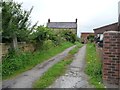
Entrance to Kirkby Common Farm
On the north side of Common Road.
Image: © Christine Johnstone
Taken: 1 Aug 2012
0.02 miles
2
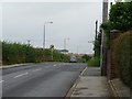
Common Road, South Kirkby Common
A minor summit at the 86 metre spot height.
Image: © Christine Johnstone
Taken: 1 Aug 2012
0.02 miles
3
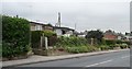
Flowery frontages, north side of Common Road
Front gardens of prefab bungalows on the Hill Top Estate.
Image: © Christine Johnstone
Taken: 1 Aug 2012
0.02 miles
4
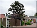
Monkey puzzle tree, South Kirkby Common
In the front garden of the first and last house on the south side of Common Road.
Image: © Christine Johnstone
Taken: 1 Aug 2012
0.03 miles
5
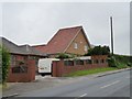
Eye-catching house on Common Road
Unlike any other home at South Kirkby Common.
Image: © Christine Johnstone
Taken: 1 Aug 2012
0.05 miles
6
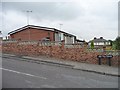
Hill Top Estate, South Kirkby Common
Parallel rows of prefabs on the western edge of the village, all now re-clad. Mapped as Hilltop Estate, not Hill Top.
Image: © Christine Johnstone
Taken: 1 Aug 2012
0.05 miles
7
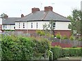
First houses in First Avenue
On the north side of Common Road, at the western edge of South Kirkby.
Image: © Christine Johnstone
Taken: 1 Aug 2012
0.09 miles
8
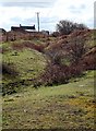
Iron Age site, South Kirkby
Ditch and banks on the south-eastern edge of the enclosure.
Image: © David Pickersgill
Taken: 19 Mar 2008
0.09 miles
9
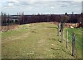
Iron Age site, South Kirkby
The top of the bank on the southern edge of the enclosure.
Image: © David Pickersgill
Taken: 19 Mar 2008
0.11 miles
10
Settlement west side of South Kirkby
Image: © Richard Spencer
Taken: 5 Feb 2006
0.12 miles