
IMAGES TAKEN NEAR TO
Arundell Drive, BARNSLEY, S71 5LF
Introduction
This page details the photographs taken nearby to Arundell Drive, S71 5LF by members of the Geograph project.
The Geograph project started in 2005 with the aim of publishing, organising and preserving representative images for every square kilometre of Great Britain, Ireland and the Isle of Man.

There are currently over 7.5m images from over14,400 individuals and you can help contribute to the project by visiting https://www.geograph.org.uk
Image Map
Images are licensed for reuse under creativecommons.org/licenses/by-sa/2.0
Notes
- Clicking on the map will re-center to the selected point.
- The higher the marker number, the further away the image location is from the centre of the postcode.
Image Listing (11 Images Found)
Images are licensed for reuse under creativecommons.org/licenses/by-sa/2.0
Image
Details
Distance
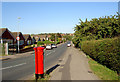

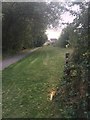
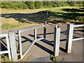
5

Cycle path and pipeline
National Cycle Network route 67 heading towards Lundwood.
Image: © DS Pugh
Taken: 13 Apr 2025
0.21 miles
6

New housing on the north side of Lundwood
A small park constructed as part of the housing development.
Image: © DS Pugh
Taken: 13 Apr 2025
0.21 miles
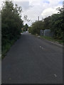
8
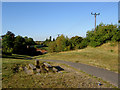
Where's the table?
Trans Pennine Trail spur going North.
Image: © Steve Fareham
Taken: 7 Sep 2007
0.23 miles
9
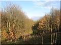
Footpath along route of dismantled railway
Image: © Alex McGregor
Taken: 10 Dec 2012
0.24 miles
10

Trans Pennine Trail
The Trail here is on the line of the abandoned Hull & Barnsley railway. Viewed on a frosty November morning from the A628 over bridge
Image: © Graham Hogg
Taken: 30 Nov 2012
0.24 miles