IMAGES TAKEN NEAR TO
Newhall Grange, ROTHERHAM, S66 8PT
Introduction
This page details the photographs taken nearby to Newhall Grange, S66 8PT by members of the Geograph project.
The Geograph project started in 2005 with the aim of publishing, organising and preserving representative images for every square kilometre of Great Britain, Ireland and the Isle of Man.

There are currently over 7.5m images from over14,400 individuals and you can help contribute to the project by visiting https://www.geograph.org.uk
Image Map
Images are licensed for reuse under creativecommons.org/licenses/by-sa/2.0
Notes
- Clicking on the map will re-center to the selected point.
- The higher the marker number, the further away the image location is from the centre of the postcode.
Image Listing (14 Images Found)
Images are licensed for reuse under creativecommons.org/licenses/by-sa/2.0
Image
Details
Distance
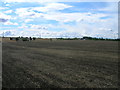
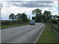
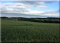
1
Newhall Grange
Despite the rural appearance the busy M18 is less than half a mile from this farm.
Image: © Michael Patterson
Taken: 7 Apr 2006
0.04 miles
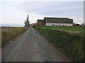
2
Newhall Lane
Looking towards Newhall Grange
Image: © Graham Hogg
Taken: 25 Oct 2021
0.12 miles
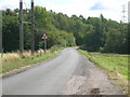
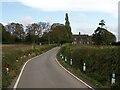
3
Newhall lane is a single track
Heading towards Carr from Hellaby.
Image: © Steve Fareham
Taken: 23 Apr 2009
0.15 miles
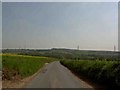
4
Looking East from Kingsforth Lane
Image: © Jonathan Clitheroe
Taken: 16 Jun 2017
0.17 miles
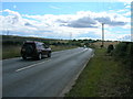
5
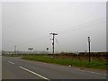
Bus stop and road junction on Kingsforth Lane
Near the M18 motorway junction.
Image: © Steve Fareham
Taken: 2 Apr 2009
0.19 miles