
IMAGES TAKEN NEAR TO
Industry Street, SHEFFIELD, S6 2WW
Introduction
This page details the photographs taken nearby to Industry Street, S6 2WW by members of the Geograph project.
The Geograph project started in 2005 with the aim of publishing, organising and preserving representative images for every square kilometre of Great Britain, Ireland and the Isle of Man.

There are currently over 7.5m images from over14,400 individuals and you can help contribute to the project by visiting https://www.geograph.org.uk
Image Map
Images are licensed for reuse under creativecommons.org/licenses/by-sa/2.0
Notes
- Clicking on the map will re-center to the selected point.
- The higher the marker number, the further away the image location is from the centre of the postcode.
Image Listing (114 Images Found)
Images are licensed for reuse under creativecommons.org/licenses/by-sa/2.0
Image
Details
Distance
1
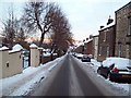
Winter view down Carr Road
This picture was taken during the big freeze of January 2010, 3 days after heavy snowfall. At the bottom of the road the Belle Vue pub can just be made out - closed for business at the time of posting.
Image: © Jonathan Clitheroe
Taken: 8 Jan 2010
0.03 miles
2
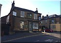
The Firwood Cottage Public House
This public house closed down in late July 2017 and is pictured here just after the fateful day.
Image: © Jonathan Clitheroe
Taken: 10 Aug 2017
0.05 miles
3
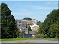
View from Ruskin Park, Walkley, Sheffield
The houses curving away in the upper centre are on the corner of Whitehouse Road and Walkley Road.
The square white building with the grey pointy roof is the Belle Vue pub ... see ...
Image
For full information about Ruskin Park … see …
Image
Image: © Terry Robinson
Taken: 4 Sep 2012
0.05 miles
4
The Belle Vue Pub Sign, Walkley Road, Sheffield
Image: © Terry Robinson
Taken: 14 Apr 2009
0.07 miles
5
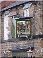
The Firwood Cottage Pub Sign, Walkley Road, Sheffield
Image: © Terry Robinson
Taken: 14 Apr 2009
0.07 miles
6
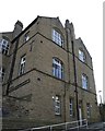
Side View of St Mary's CE Primary School, Cundy Street, Walkley, Sheffield - 1
For more information about the school ... see ...
Image
Image: © Terry Robinson
Taken: 2 Sep 2012
0.08 miles
7
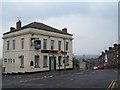
The Belle Vue, Walkley Road, Lower Walkley, Sheffield
Belle Vue for sure ... the location of this Public House, at the top of Walkey Road, guarantees
a great view over Hillfoot, Parkwood Springs and across to Sheffield City Centre.
Sadly, because it is closed, there is nobody to look at these views!
For a view of the Pub Sign … see ...
Image
See also …
Image
Image: © Terry Robinson
Taken: 14 Apr 2009
0.08 miles
8
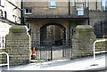
Gates and Archway to the Playground, St Mary's CE Primary School, Cundy Street, Walkley, Sheffield
For more information about the school ... see ...
Image
These gates were clearly for Girls only ...
Image
For a closer view of the archway ... see ...
Image
Image: © Terry Robinson
Taken: 2 Sep 2012
0.08 miles
9
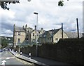
St Mary's CE Primary School, Cundy Street, Walkley, Sheffield - 2
For more information about the school ... see ...
Image
Image: © Terry Robinson
Taken: 2 Sep 2012
0.08 miles
10
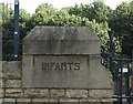
Infants Gatepost to St Mary's CE Primary School, Cundy Street, Walkley, Sheffield
Image: © Terry Robinson
Taken: 2 Sep 2012
0.08 miles