IMAGES TAKEN NEAR TO
Darnbrook Drive, SHEFFIELD, S5 9BJ
Introduction
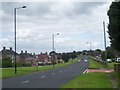
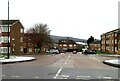
This page details the photographs taken nearby to Darnbrook Drive, S5 9BJ by members of the Geograph project.
The Geograph project started in 2005 with the aim of publishing, organising and preserving representative images for every square kilometre of Great Britain, Ireland and the Isle of Man.

There are currently over 7.5m images from over14,400 individuals and you can help contribute to the project by visiting https://www.geograph.org.uk
Image Map (8 Images)


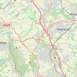

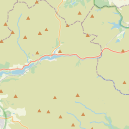

Leaflet Map data © OpenStreetMap
Images are licensed for reuse under creativecommons.org/licenses/by-sa/2.0
Notes
- Clicking on the map will re-center to the selected point.
- The higher the marker number, the further away the image location is from the centre of the postcode.
Image Listing (8 Images Found)
Images are licensed for reuse under creativecommons.org/licenses/by-sa/2.0
Image
Details
Distance
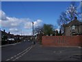
3
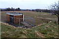
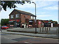
Site of St Peter's RC Secondary Modern School
St Peter's closed sometime in the 1980's I think, I don't know when it was demolished, but the electrical sub-station remains.
Image: © David Lally
Taken: 25 Dec 2007
0.15 miles