
IMAGES TAKEN NEAR TO
Wholey Place, CHESTERFIELD, S45 9HY
Introduction
This page details the photographs taken nearby to Wholey Place, S45 9HY by members of the Geograph project.
The Geograph project started in 2005 with the aim of publishing, organising and preserving representative images for every square kilometre of Great Britain, Ireland and the Isle of Man.

There are currently over 7.5m images from over14,400 individuals and you can help contribute to the project by visiting https://www.geograph.org.uk
Image Map
Images are licensed for reuse under creativecommons.org/licenses/by-sa/2.0
Notes
- Clicking on the map will re-center to the selected point.
- The higher the marker number, the further away the image location is from the centre of the postcode.
Image Listing (112 Images Found)
Images are licensed for reuse under creativecommons.org/licenses/by-sa/2.0
Image
Details
Distance
1
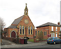
Clay Cross - Catholic Church
On Thanet Street. Dedicated to Saints Patrick and Bridget.
Image: © Dave Bevis
Taken: 5 Apr 2013
0.08 miles
2
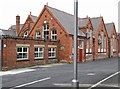
Clay Cross - former Junior School - north and west sides
For more information on the changing pattern of schools in and around Clay Cross, please see https://en.wikipedia.org/wiki/Clay_Cross#Education . For alternative views of this building, please see Image and Image
Image: © Dave Bevis
Taken: 5 Jul 2015
0.09 miles
3
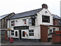
Clay Cross - Last Orders
On Market Street.
Image: © Dave Bevis
Taken: 7 Feb 2010
0.09 miles
4
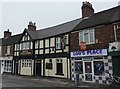
Shop, Pub, Take-away
On Market Street, Clay Cross.
Image: © Peter Barr
Taken: 8 Sep 2010
0.09 miles
5
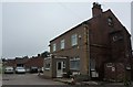
Coach booking office
With geese statuary on porch roof, Market Street, Clay Cross
Image: © Peter Barr
Taken: 8 Sep 2010
0.09 miles
6
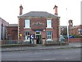
Clay Cross first police station
Clay Cross police station built in 1876 and now is the DCC Wildlife Centre. To the right you can see part of the old school that is now used by the adult education.
Image: © Tony Hawes
Taken: 20 Apr 2007
0.09 miles
7
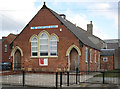
Clay Cross - Salvation Army citadel
On Thanet Street.
Image: © Dave Bevis
Taken: 5 Apr 2013
0.09 miles
8
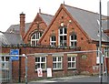
Clay Cross - former Junior School - north side
Image: © Dave Bevis
Taken: 5 Jul 2015
0.10 miles
9
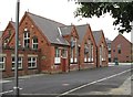
Clay Cross - former Junior School - west side
Image: © Dave Bevis
Taken: 5 Jul 2015
0.10 miles
10
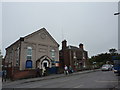
Baptist Church and former Constabulary building
The church is still doing what it was built for, and the Constabulary is now in the hands of Derbyshire County Council.On the A6175, Market Street.
Image: © Peter Barr
Taken: 8 Sep 2010
0.10 miles