
IMAGES TAKEN NEAR TO
Romeley Lane, CHESTERFIELD, S44 6AL
Introduction
This page details the photographs taken nearby to Romeley Lane, S44 6AL by members of the Geograph project.
The Geograph project started in 2005 with the aim of publishing, organising and preserving representative images for every square kilometre of Great Britain, Ireland and the Isle of Man.

There are currently over 7.5m images from over14,400 individuals and you can help contribute to the project by visiting https://www.geograph.org.uk
Image Map
Images are licensed for reuse under creativecommons.org/licenses/by-sa/2.0
Notes
- Clicking on the map will re-center to the selected point.
- The higher the marker number, the further away the image location is from the centre of the postcode.
Image Listing (5 Images Found)
Images are licensed for reuse under creativecommons.org/licenses/by-sa/2.0
Image
Details
Distance
1
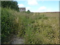
Oil seed rape, ripening
Near to Romeley Hall Farm.
Image: © Peter Barr
Taken: 28 Jul 2012
0.00 miles
2
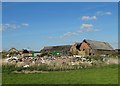
At Romeley Hall Farm
Dilapidation and destruction seem to be the order of the day.
Image: © Neil Theasby
Taken: 24 Mar 2014
0.04 miles
3
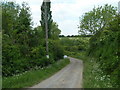
Farm track to Romeley Hall Farm
The footpath west from the farm crossing the M1 towards Woodthorpe is not easy to find or follow on the ground.
Image: © Andrew Hill
Taken: 2 Jun 2011
0.10 miles
4
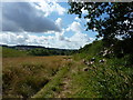
Footpath near Romeley Hall Farm
Farmland south of Clowne.
Image: © Peter Barr
Taken: 28 Jul 2012
0.12 miles
5
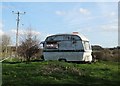
Holiday Caravan for Rent
Near Romeley Hall Farm. This luxurious but snug caravan, sitting in natural country surroundings is available for rent throughout the year.
Image: © Neil Theasby
Taken: 24 Mar 2014
0.17 miles