
IMAGES TAKEN NEAR TO
Mansfield Road, CHESTERFIELD, S43 4DJ
Introduction
This page details the photographs taken nearby to Mansfield Road, S43 4DJ by members of the Geograph project.
The Geograph project started in 2005 with the aim of publishing, organising and preserving representative images for every square kilometre of Great Britain, Ireland and the Isle of Man.

There are currently over 7.5m images from over14,400 individuals and you can help contribute to the project by visiting https://www.geograph.org.uk
Image Map
Images are licensed for reuse under creativecommons.org/licenses/by-sa/2.0
Notes
- Clicking on the map will re-center to the selected point.
- The higher the marker number, the further away the image location is from the centre of the postcode.
Image Listing (19 Images Found)
Images are licensed for reuse under creativecommons.org/licenses/by-sa/2.0
Image
Details
Distance
5
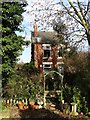
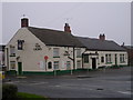
Characterful property on Ringer Lane, Clowne
Image: © Neil Theasby
Taken: 24 Mar 2014
0.12 miles
7
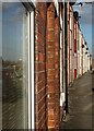
Terraced houses on King Street, Clowne
Image: © Neil Theasby
Taken: 24 Mar 2014
0.15 miles
8
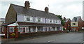
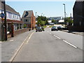
The south end of Boughton Lane, Clowne
Approaching the junction with the B6418.
Image: © Andrew Hill
Taken: 26 May 2011
0.16 miles
9
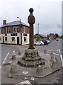
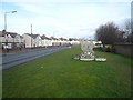
Old Central Cross by the B6417, High Street, Clowne Parish
The Market Cross, old shaft, base and steps in a new cross, by the B6417, in parish of Clowne (Bolsover District), High Street, opposite Anchor PH, on small island at junction.
Grade II* listed. List Entry Number: 1108957
https://historicengland.org.uk/listing/the-list/list-entry/1108957
Scheduled Monument. List Entry Number: 1011851
https://historicengland.org.uk/listing/the-list/list-entry/1011851
Surveyed
Milestone Society National ID: DEBO_CLO
Image: © Alan Rosevear
Taken: 30 May 2013
0.17 miles
10
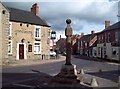
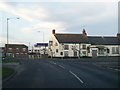
Clowne Market Cross
Grade II* listed cross standing at the junction of Church Street and High Street. The oldest part of the structure (presumably the base) is listed as (probably) C14.
Image: © Jonathan Clitheroe
Taken: 17 Mar 2012
0.17 miles