
IMAGES TAKEN NEAR TO
Markland Lane, CHESTERFIELD, S43 4AY
Introduction
This page details the photographs taken nearby to Markland Lane, S43 4AY by members of the Geograph project.
The Geograph project started in 2005 with the aim of publishing, organising and preserving representative images for every square kilometre of Great Britain, Ireland and the Isle of Man.

There are currently over 7.5m images from over14,400 individuals and you can help contribute to the project by visiting https://www.geograph.org.uk
Image Map
Images are licensed for reuse under creativecommons.org/licenses/by-sa/2.0
Notes
- Clicking on the map will re-center to the selected point.
- The higher the marker number, the further away the image location is from the centre of the postcode.
Image Listing (13 Images Found)
Images are licensed for reuse under creativecommons.org/licenses/by-sa/2.0
Image
Details
Distance
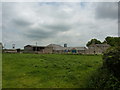
2
Field with cattle by Markland Lane
In countryside east of Clowne. According to the maps there are two farms called Markland Farm, one in this square and one in the square to the south.
Image: © Andrew Hill
Taken: 18 Nov 2010
0.05 miles
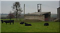
3
East of Clowne
View to Markland Farm and Markland Lane
Image: © Neil Theasby
Taken: 24 Mar 2014
0.12 miles
4
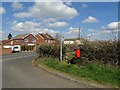
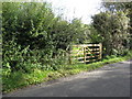
Corner of Hollin Hill Road and Markland Lane, Clowne
Image: © Neil Theasby
Taken: 24 Mar 2014
0.16 miles
5
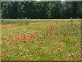
Poppies in a barley field
Nerar Markland Farm, east of Clowne.
Image: © Peter Barr
Taken: 28 Jul 2012
0.16 miles
6
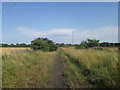
Line of disused railway north of Markland farm
Image: © John Slater
Taken: 1 Aug 2013
0.19 miles
8
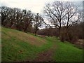
Markland Grips
Limestone valley viewed from Markland Lane. This section of the gorge does not have public access.
Image: © Jonathan Clitheroe
Taken: 17 Mar 2012
0.21 miles
10
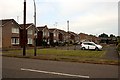
Northfields
A modern housing development to the south of the town centre
Image: © Graham Hogg
Taken: 8 Jul 2013
0.23 miles