IMAGES TAKEN NEAR TO
Todwick Road, SHEFFIELD, S26 1DP
Introduction
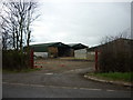
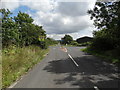
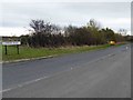
This page details the photographs taken nearby to Todwick Road, S26 1DP by members of the Geograph project.
The Geograph project started in 2005 with the aim of publishing, organising and preserving representative images for every square kilometre of Great Britain, Ireland and the Isle of Man.

There are currently over 7.5m images from over14,400 individuals and you can help contribute to the project by visiting https://www.geograph.org.uk
Image Map
Images are licensed for reuse under creativecommons.org/licenses/by-sa/2.0
Notes
- Clicking on the map will re-center to the selected point.
- The higher the marker number, the further away the image location is from the centre of the postcode.
Image Listing (5 Images Found)
Images are licensed for reuse under creativecommons.org/licenses/by-sa/2.0
Image
Details
Distance
2
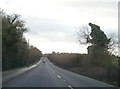
Crossroad near Dinnington
Where Common Road meets Todwick Road to the south west of Dinnington.
Image: © Neil Theasby
Taken: 12 Aug 2014
0.12 miles
5
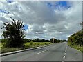
Todwick Road
Looking SW to the junction with Common Road
Image: © Graham Hogg
Taken: 26 Sep 2022
0.20 miles