IMAGES TAKEN NEAR TO
Todwick Road, SHEFFIELD, S25 3SE
Introduction
This page details the photographs taken nearby to Todwick Road, S25 3SE by members of the Geograph project.
The Geograph project started in 2005 with the aim of publishing, organising and preserving representative images for every square kilometre of Great Britain, Ireland and the Isle of Man.

There are currently over 7.5m images from over14,400 individuals and you can help contribute to the project by visiting https://www.geograph.org.uk
Image Map
Images are licensed for reuse under creativecommons.org/licenses/by-sa/2.0
Notes
- Clicking on the map will re-center to the selected point.
- The higher the marker number, the further away the image location is from the centre of the postcode.
Image Listing (13 Images Found)
Images are licensed for reuse under creativecommons.org/licenses/by-sa/2.0
Image
Details
Distance
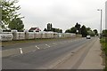
3
End of Rotherham Road, Laughton Common
Image: © Andrew Abbott
Taken: 5 Jun 2010
0.13 miles
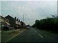
4
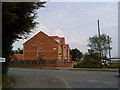
New Houses on Church Lane, Laughton Common
Image: © Andrew Abbott
Taken: 5 Jun 2010
0.13 miles
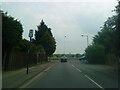
6
Marquis Motorhomes and Caravans, Todwick Road
Image: © Mark Anderson
Taken: 23 May 2018
0.15 miles
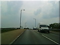
7
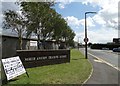
Entrance to North Anston Trading Estate
Image: © Neil Theasby
Taken: 12 Aug 2014
0.16 miles
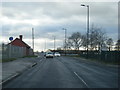
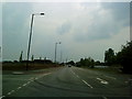
9
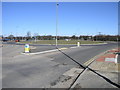
New Traffic Island
This new traffic island leads to a new industrial development and replaces the original crossroads.
Image: © Michael Patterson
Taken: 1 Mar 2006
0.18 miles
10
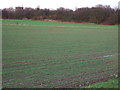
Railway embankment.
The disused railway,just behind are the roofs of the industrial estate.
Image: © John Poyser
Taken: 5 Jan 2007
0.20 miles