IMAGES TAKEN NEAR TO
St. Wilfrids Road, SHEFFIELD, S2 4EY
Introduction
This page details the photographs taken nearby to St. Wilfrids Road, S2 4EY by members of the Geograph project.
The Geograph project started in 2005 with the aim of publishing, organising and preserving representative images for every square kilometre of Great Britain, Ireland and the Isle of Man.

There are currently over 7.5m images from over14,400 individuals and you can help contribute to the project by visiting https://www.geograph.org.uk
Image Map
Images are licensed for reuse under creativecommons.org/licenses/by-sa/2.0
Notes
- Clicking on the map will re-center to the selected point.
- The higher the marker number, the further away the image location is from the centre of the postcode.
Image Listing (119 Images Found)
Images are licensed for reuse under creativecommons.org/licenses/by-sa/2.0
Image
Details
Distance
1
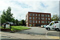
St Wilfred's Place, Queens Road, Sheffield
Image: © Mike Pennington
Taken: 6 Sep 2022
0.04 miles

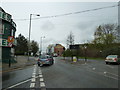
3
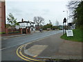
Looking from Rowland Road across Bramall Lane towards Sheaf House
Image: © Basher Eyre
Taken: 3 Apr 2012
0.11 miles
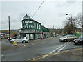
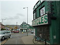
5
Yellow self storage building on Queens Road Sheffield
Image: © Steve Fareham
Taken: 26 Oct 2015
0.12 miles
6
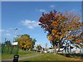
Autumn colours near Sheffield city centre
Image: © Steve Fareham
Taken: 26 Oct 2015
0.12 miles
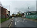
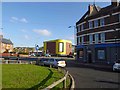
10
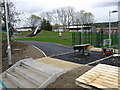
New park at Lowfield
This new park includes an all weather pitch and other play facilities. It is due to open in summer 2012.
Image: © don cload
Taken: 3 Apr 2012
0.13 miles