
IMAGES TAKEN NEAR TO
Nether Wheel Row, SHEFFIELD, S13 7BN
Introduction
This page details the photographs taken nearby to Nether Wheel Row, S13 7BN by members of the Geograph project.
The Geograph project started in 2005 with the aim of publishing, organising and preserving representative images for every square kilometre of Great Britain, Ireland and the Isle of Man.

There are currently over 7.5m images from over14,400 individuals and you can help contribute to the project by visiting https://www.geograph.org.uk
Image Map
Images are licensed for reuse under creativecommons.org/licenses/by-sa/2.0
Notes
- Clicking on the map will re-center to the selected point.
- The higher the marker number, the further away the image location is from the centre of the postcode.
Image Listing (12 Images Found)
Images are licensed for reuse under creativecommons.org/licenses/by-sa/2.0
Image
Details
Distance
1
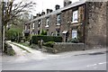
Netherwheel Cottages
Part of historic Normanton
Image: © Keith Pitchforth
Taken: 15 Apr 2010
0.02 miles
2
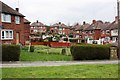
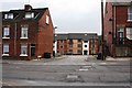
Former Council Housing on Normanton Grove
Image: © Keith Pitchforth
Taken: 15 Apr 2010
0.04 miles
6
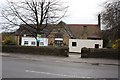
Converted School
A former primary school
Image: © Keith Pitchforth
Taken: 15 Apr 2010
0.09 miles
7
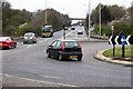
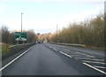
Handsworth Relief Road
Looking north towards the Sheffield Parkway
Image: © Keith Pitchforth
Taken: 15 Apr 2010
0.16 miles
9
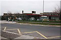
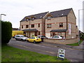
City School
This 1960s building is due for re-building in the next two years
Image: © Keith Pitchforth
Taken: 15 Apr 2010
0.22 miles
10
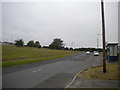
Dyke Vale Road, Hackenthorpe
The grassed area on the left was once residential, but the housing on that side of Dyke Vale Road has been demolished, with the land being allowed to return somewhat to nature. There is still housing on the other side of the road, out of frame to the right. The bus shelter and layby was formerly the terminus of the bus route serving this area, but the service was extended to Crystal Peaks a few years ago; even the buses don't want to hang around in this desolate place.
Image: © Richard Vince
Taken: 10 Jul 2013
0.24 miles