IMAGES TAKEN NEAR TO
Benn Close, OXTED, RH8 9BW
Introduction
This page details the photographs taken nearby to Benn Close, RH8 9BW by members of the Geograph project.
The Geograph project started in 2005 with the aim of publishing, organising and preserving representative images for every square kilometre of Great Britain, Ireland and the Isle of Man.

There are currently over 7.5m images from over14,400 individuals and you can help contribute to the project by visiting https://www.geograph.org.uk
Image Map
Images are licensed for reuse under creativecommons.org/licenses/by-sa/2.0
Notes
- Clicking on the map will re-center to the selected point.
- The higher the marker number, the further away the image location is from the centre of the postcode.
Image Listing (29 Images Found)
Images are licensed for reuse under creativecommons.org/licenses/by-sa/2.0
Image
Details
Distance
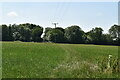
5
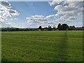
Footpath towards Holland, Oxted
Field south of Oxted town edge.
Image: © James Emmans
Taken: 16 May 2020
0.10 miles
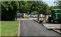
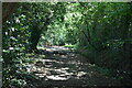
9
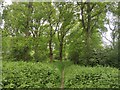
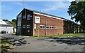
Woodland close to Matchpoint Tennis Academy
Image: © James Emmans
Taken: 16 May 2020
0.16 miles
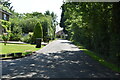
10
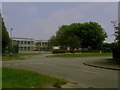
Holland Junior School
View of Holland Junior School from the junction of Warren Lane and Holland Road.
Image: © Ed of the South
Taken: 12 Jul 2014
0.16 miles