
IMAGES TAKEN NEAR TO
Forge Place, HORLEY, RH6 0AL
Introduction
This page details the photographs taken nearby to Forge Place, RH6 0AL by members of the Geograph project.
The Geograph project started in 2005 with the aim of publishing, organising and preserving representative images for every square kilometre of Great Britain, Ireland and the Isle of Man.

There are currently over 7.5m images from over14,400 individuals and you can help contribute to the project by visiting https://www.geograph.org.uk
Image Map
Images are licensed for reuse under creativecommons.org/licenses/by-sa/2.0
Notes
- Clicking on the map will re-center to the selected point.
- The higher the marker number, the further away the image location is from the centre of the postcode.
Image Listing (55 Images Found)
Images are licensed for reuse under creativecommons.org/licenses/by-sa/2.0
Image
Details
Distance
1
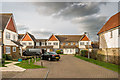
Forge Place
2003 development off Povey Cross Road.
Image: © Ian Capper
Taken: 18 Jan 2019
0.02 miles
2
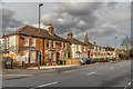
Povey Cross Road
A pair of early 20th Century semi-detached villas in Povey Cross Road (although the near building has since been extended) with later housing beyond. Until its diversion by the expansion of Gatwick Airport in the 1950s, this was of the A23 London-Brighton Road.
Image: © Ian Capper
Taken: 18 Jan 2019
0.03 miles
4
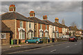
Povey Cross Road
Late Victorian villas on Povey Cross Road. Until its diversion by the expansion of Gatwick Airport in the 1950s, this was of the A23 London-Brighton Road.
Image: © Ian Capper
Taken: 18 Jan 2019
0.04 miles
5
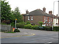
Junction of Forge Place with Povey Cross Road
Image: © Nick Smith
Taken: 16 Jul 2009
0.07 miles
6
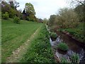
Sussex Border Path
The Sussex Border Path is a footpath route over 150 miles long around the inland boundary of the county of Sussex. This section runs alongside the River Mole on the edge of Gatwick Airport.
Image: © Graham Hogg
Taken: 13 Apr 2011
0.08 miles
7
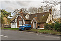
Manor Lodge
Former lodge to Gatwick, a house demolished as part of the expansion of Gatwick Airport in the 1950s. Locally listed.
Image: © Ian Capper
Taken: 18 Jan 2019
0.10 miles
8
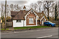
Manor Lodge
Former lodge to Gatwick, a house demolished as part of the expansion of Gatwick Airport in the 1950s. Locally listed.
Image: © Ian Capper
Taken: 18 Jan 2019
0.10 miles
9
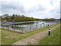
Looking across water treatment lake by Gatwick Airport
This is in West Sussex.
Image: © Shazz
Taken: 27 Apr 2016
0.10 miles
10
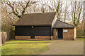
Brethren Meeting Room
Plymouth Brethren meeting room built around 2000.
Image: © Ian Capper
Taken: 18 Jan 2019
0.11 miles