
IMAGES TAKEN NEAR TO
Eastnor Place, Eastnor Road, REIGATE, RH2 8NF
Introduction
This page details the photographs taken nearby to Eastnor Place, Eastnor Road, RH2 8NF by members of the Geograph project.
The Geograph project started in 2005 with the aim of publishing, organising and preserving representative images for every square kilometre of Great Britain, Ireland and the Isle of Man.

There are currently over 7.5m images from over14,400 individuals and you can help contribute to the project by visiting https://www.geograph.org.uk
Image Map
Images are licensed for reuse under creativecommons.org/licenses/by-sa/2.0
Notes
- Clicking on the map will re-center to the selected point.
- The higher the marker number, the further away the image location is from the centre of the postcode.
Image Listing (81 Images Found)
Images are licensed for reuse under creativecommons.org/licenses/by-sa/2.0
Image
Details
Distance
1
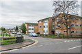
Roman House
Apartment block on Park Lane East, built in the c1960s. Beyond, down Eastnor Road, is another similar building, Saxon House.
Image: © Ian Capper
Taken: 10 Jan 2020
0.02 miles
2
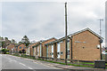
Derwent House
Apartment block on Park Lane East, built in the c1960s. The house beyond was built on the site of the Holmesdale Inn, which closed in the 1990s.
Image: © Ian Capper
Taken: 10 Jan 2020
0.03 miles
3
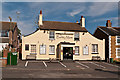
The Barley Mow
Early 19th century pub in Eastnor Road. Locally listed.
Image: © Ian Capper
Taken: 15 Sep 2012
0.03 miles
4
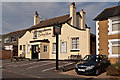
The Barley Mow
Early 19th century pub in Eastnor Road. Locally listed.
Image: © Ian Capper
Taken: 15 Sep 2012
0.03 miles
5
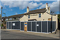
Former Barley Mow
Former pub in Eastnor Road which closed in 2018. See Image for when open as a pub. In this photo work is under way to convert it to a physio clinic and hydrotherapy centre.
Image: © Ian Capper
Taken: 3 Apr 2020
0.03 miles
6
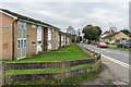
Derwent House
Apartment block on Park Lane East, built in the c1960s.
Image: © Ian Capper
Taken: 10 Jan 2020
0.03 miles
7
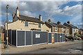
Former Barley Mow
Former pub in Eastnor Road which closed in 2018. See Image for when open as a pub. In this photo work is under way to convert it to a physio clinic and hydrotherapy centre.
Image: © Ian Capper
Taken: 3 Apr 2020
0.03 miles
8
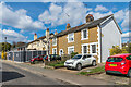
Eastnor Road
19th Century housing in Eastnor Road. Behind the hoardings is the former Barley Mow pub (see Image) which closed in 2018. In this photo work is under way to convert it to a physio clinic and hydrotherapy centre.
Image: © Ian Capper
Taken: 3 Apr 2020
0.03 miles
9
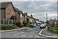
Priory Road
Road in the South Park area of Reigate, first developed in the mid 19th Century.
Image: © Ian Capper
Taken: 10 Jan 2020
0.04 miles
10
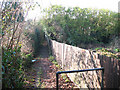
Footpath from Church Road to Priory Road
This urban footpath is not shown as a public right of way on the OS maps, although it is a logical link in a chain of footpaths running roughly east-west across the square, and most of the others are shown as rights of way. Maybe the status changed when the adjacent church Image was built?
Image: © Stephen Craven
Taken: 27 Jan 2009
0.05 miles