
IMAGES TAKEN NEAR TO
Blackborough Road, REIGATE, RH2 7BY
Introduction
This page details the photographs taken nearby to Blackborough Road, RH2 7BY by members of the Geograph project.
The Geograph project started in 2005 with the aim of publishing, organising and preserving representative images for every square kilometre of Great Britain, Ireland and the Isle of Man.

There are currently over 7.5m images from over14,400 individuals and you can help contribute to the project by visiting https://www.geograph.org.uk
Image Map
Images are licensed for reuse under creativecommons.org/licenses/by-sa/2.0
Notes
- Clicking on the map will re-center to the selected point.
- The higher the marker number, the further away the image location is from the centre of the postcode.
Image Listing (92 Images Found)
Images are licensed for reuse under creativecommons.org/licenses/by-sa/2.0
Image
Details
Distance
1
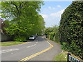
Reigate: Ringley Park Road
Looking north from Blackborough Road
Image: © Dr Neil Clifton
Taken: 18 Apr 2011
0.05 miles
2
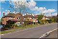
Ringley Park Road
Although the road itself existed in Victorian times, it was not built up until the 1950s/60s, with these houses built on the grounds of a large Victorian house called Ringley Oak, situated at the junction of Ringley Park Road and Reigate Road.
Image: © Ian Capper
Taken: 12 May 2012
0.06 miles
3
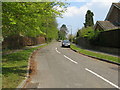
Reigate: Blackborough Close
Off the north side of Blackborough Road
Image: © Dr Neil Clifton
Taken: 18 Apr 2011
0.06 miles
4
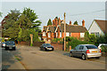
Blanford Road
A road developed in the last few years of the 19th century and first few years of the 20th century. A number of houses are locally listed, including nos 27/29, seen here in the centre of the photo which was built in 1899, designed by local firm of architects, Baker and Penfold.
Image: © Ian Capper
Taken: 25 Apr 2011
0.08 miles
5
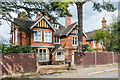
27 & 29 Blanford Road
Pair of houses in Blanford Road dating from 1899, designed by local firm Baker & Penfold. Older maps name no 27 as Chiseldon House. Locally listed.
Image: © Ian Capper
Taken: 12 Apr 2021
0.08 miles
6
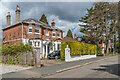
23 Blanford Road
House in Blanford Road which maps suggest dates from around the turn of the 19th/20th Centuries. Older maps name it as Blanford Cottage, a name that still appears on the gate.
Image: © Ian Capper
Taken: 12 Apr 2021
0.09 miles
7
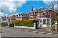
23 Blanford Road
House in Blanford Road which maps suggest dates from around the turn of the 19th/20th Centuries. Older maps name it as Blanford Cottage, a name that still appears on the gate. The house beyond, no 21, named The Georgian House, is more recent (c.1970s?)
Image: © Ian Capper
Taken: 12 Apr 2021
0.09 miles
8
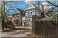
41 Blanford Road
House in Blanford Road dating from 1896, designed by G Morrison. Older maps name it as Parkwater. Locally listed.
Image: © Ian Capper
Taken: 12 Apr 2021
0.11 miles
9
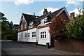
Ringley Park Avenue
Locally listed building in Ringley Park Avenue, dating from the late 19th century, built as the coachhouse and gardener's cottage for Parkwater, a large house whose chimney can be seen in the background (see Image).
Image: © Ian Capper
Taken: 12 May 2012
0.11 miles
10
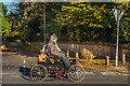
London to Brighton Veteran Car Run 2017 on Reigate Road
1901 Crest runabout registration no BS 8497 (start no 87) passing Ringley Park Road.
Image: © Ian Capper
Taken: 5 Nov 2017
0.12 miles