IMAGES TAKEN NEAR TO
Chanctonbury Walk, PULBOROUGH, RH20 4LT
Introduction
This page details the photographs taken nearby to Chanctonbury Walk, RH20 4LT by members of the Geograph project.
The Geograph project started in 2005 with the aim of publishing, organising and preserving representative images for every square kilometre of Great Britain, Ireland and the Isle of Man.

There are currently over 7.5m images from over14,400 individuals and you can help contribute to the project by visiting https://www.geograph.org.uk
Image Map
Images are licensed for reuse under creativecommons.org/licenses/by-sa/2.0
Notes
- Clicking on the map will re-center to the selected point.
- The higher the marker number, the further away the image location is from the centre of the postcode.
Image Listing (157 Images Found)
Images are licensed for reuse under creativecommons.org/licenses/by-sa/2.0
Image
Details
Distance
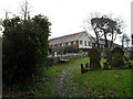
1
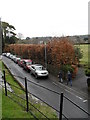
Looking from St Mary's into Church Street
Image: © Basher Eyre
Taken: 20 Mar 2010
0.02 miles
2
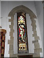
Stained glass window within St Mary, Storrington (1)
Image: © Basher Eyre
Taken: 20 Mar 2010
0.02 miles
4
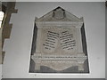
Memorial within St Mary, Storrington (4)
Image: © Basher Eyre
Taken: 20 Mar 2010
0.02 miles
6
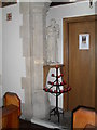
Candle holder within Our Lady of England, Storrington
Image: © Basher Eyre
Taken: 20 Mar 2010
0.02 miles
7
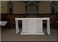
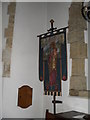
The altar at Our Lady of England, Storrington
Image: © Basher Eyre
Taken: 20 Mar 2010
0.02 miles
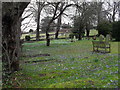
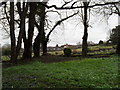
10
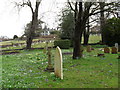
Churchyard at St Mary, Storrington (5)
Image: © Basher Eyre
Taken: 20 Mar 2010
0.03 miles