IMAGES TAKEN NEAR TO
Heatherlands, PULBOROUGH, RH20 3NE
Introduction
This page details the photographs taken nearby to Heatherlands, RH20 3NE by members of the Geograph project.
The Geograph project started in 2005 with the aim of publishing, organising and preserving representative images for every square kilometre of Great Britain, Ireland and the Isle of Man.

There are currently over 7.5m images from over14,400 individuals and you can help contribute to the project by visiting https://www.geograph.org.uk
Image Map
Images are licensed for reuse under creativecommons.org/licenses/by-sa/2.0
Notes
- Clicking on the map will re-center to the selected point.
- The higher the marker number, the further away the image location is from the centre of the postcode.
Image Listing (9 Images Found)
Images are licensed for reuse under creativecommons.org/licenses/by-sa/2.0
Image
Details
Distance
1
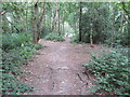
Sullington Warren
The National Trust owns around 60 acres of this sandy habitat and the area is home to rare and interesting birdlife such as woodpeckers, yellowhammers and pipits.
Image: © Peter Holmes
Taken: 20 Jul 2013
0.13 miles
2
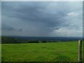
It's raining in Storrington
It's dry up here though for the time being.
Image: © Shazz
Taken: 19 Jul 2011
0.16 miles
3
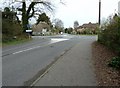
Thatched cottage by mini-roundabout
The name of the cottage is Leather Bottle Cottage.
Image: © Dave Spicer
Taken: 2 Apr 2011
0.16 miles
4
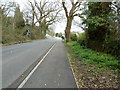
Water Lane NW to junction with the B2139
Image: © Dave Spicer
Taken: 2 Apr 2011
0.17 miles
6
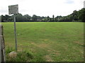
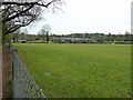
Playing field, Rydon Community College
A maintained comprehensive middle-deemed-secondary school for pupils aged 10 to 13.
Image: © Peter Holmes
Taken: 20 Jul 2013
0.19 miles