IMAGES TAKEN NEAR TO
Top Road, EAST GRINSTEAD, RH19 4NS
Introduction
This page details the photographs taken nearby to Top Road, RH19 4NS by members of the Geograph project.
The Geograph project started in 2005 with the aim of publishing, organising and preserving representative images for every square kilometre of Great Britain, Ireland and the Isle of Man.

There are currently over 7.5m images from over14,400 individuals and you can help contribute to the project by visiting https://www.geograph.org.uk
Image Map
Images are licensed for reuse under creativecommons.org/licenses/by-sa/2.0
Notes
- Clicking on the map will re-center to the selected point.
- The higher the marker number, the further away the image location is from the centre of the postcode.
Image Listing (73 Images Found)
Images are licensed for reuse under creativecommons.org/licenses/by-sa/2.0
Image
Details
Distance
8
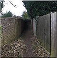
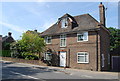
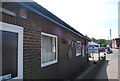
Sussex Border Path
The Sussex Border Path leaving West Hoathly and heading South along an enclosed section.
Image: © Chris Thomas-Atkin
Taken: 5 Dec 2017
0.03 miles
9
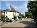
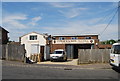
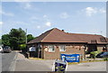
Sharpthorne Organic Cafe, Top Road, Sharpthorne
Owned and run by the Pericles a charity run to provide integration for those with special needs in the wider community. Using the closure caused by Covid-19 to renovate their vegan cafe.
Image: © Simon Carey
Taken: 9 Aug 2020
0.04 miles