IMAGES TAKEN NEAR TO
West Hoathly Road, EAST GRINSTEAD, RH19 4HW
Introduction
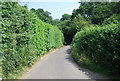
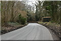
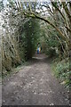
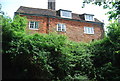
This page details the photographs taken nearby to West Hoathly Road, RH19 4HW by members of the Geograph project.
The Geograph project started in 2005 with the aim of publishing, organising and preserving representative images for every square kilometre of Great Britain, Ireland and the Isle of Man.

There are currently over 7.5m images from over14,400 individuals and you can help contribute to the project by visiting https://www.geograph.org.uk
Image Map
Images are licensed for reuse under creativecommons.org/licenses/by-sa/2.0
Notes
- Clicking on the map will re-center to the selected point.
- The higher the marker number, the further away the image location is from the centre of the postcode.
Image Listing (103 Images Found)
Images are licensed for reuse under creativecommons.org/licenses/by-sa/2.0
Image
Details
Distance
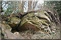

7
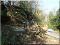
Fallen tree and rocks by West Hoathly Road
No doubt it blocked the road at the time.
Image: © Dave Spicer
Taken: 11 Dec 2012
0.03 miles