IMAGES TAKEN NEAR TO
Lewes Road, EAST GRINSTEAD, RH19 3TB
Introduction
This page details the photographs taken nearby to Lewes Road, RH19 3TB by members of the Geograph project.
The Geograph project started in 2005 with the aim of publishing, organising and preserving representative images for every square kilometre of Great Britain, Ireland and the Isle of Man.

There are currently over 7.5m images from over14,400 individuals and you can help contribute to the project by visiting https://www.geograph.org.uk
Image Map
Images are licensed for reuse under creativecommons.org/licenses/by-sa/2.0
Notes
- Clicking on the map will re-center to the selected point.
- The higher the marker number, the further away the image location is from the centre of the postcode.
Image Listing (17 Images Found)
Images are licensed for reuse under creativecommons.org/licenses/by-sa/2.0
Image
Details
Distance
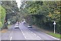
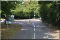
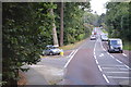
6
Drive behind houses on Ashurst Road
Off the A22, East Grinstead.
Image: © Jonathan Billinger
Taken: 24 Jan 2007
0.14 miles
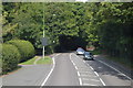
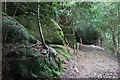
8
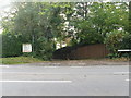
Luxford's Lane in the parish of Ashhurst Wood
Although a private road it also a Public Bridleway.
Image: © Dave Spicer
Taken: 24 Oct 2012
0.17 miles