
IMAGES TAKEN NEAR TO
Street Lane, HAYWARDS HEATH, RH17 6UA
Introduction
This page details the photographs taken nearby to Street Lane, RH17 6UA by members of the Geograph project.
The Geograph project started in 2005 with the aim of publishing, organising and preserving representative images for every square kilometre of Great Britain, Ireland and the Isle of Man.

There are currently over 7.5m images from over14,400 individuals and you can help contribute to the project by visiting https://www.geograph.org.uk
Image Map
Images are licensed for reuse under creativecommons.org/licenses/by-sa/2.0
Notes
- Clicking on the map will re-center to the selected point.
- The higher the marker number, the further away the image location is from the centre of the postcode.
Image Listing (142 Images Found)
Images are licensed for reuse under creativecommons.org/licenses/by-sa/2.0
Image
Details
Distance
1
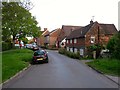
Brickyard Cottages, Street Lane, Ardingly
A pair of cottages that date from the 17th century located next to the old entrance to a brickyard.
Image: © Simon Carey
Taken: 9 May 2015
0.00 miles
3
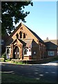
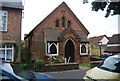
The Koorana Centre, Street Lane, Ardingly
A former Congregational Chapel that was built in 1886 on the site of an older building that been established in 1822. It closed sometime around 2010, was renovated in 2012 and since 2014 has been home to a spiritualist and natural therapy centre.
Image: © Simon Carey
Taken: 6 Jun 2015
0.01 miles
4
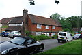
Brickyard Cottages
Grade II listed. http://www.britishlistedbuildings.co.uk/en-302318-brickyard-cottages-ardingly-west-sussex
Image: © N Chadwick
Taken: 19 Jun 2014
0.01 miles
6
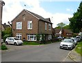
Cottages, Street Lane, Ardingly
A semi-detached dwelling on Street Lane which looks like it was once a shop or business premises. Beyond is Image and Image
Image: © Simon Carey
Taken: 6 Jun 2015
0.02 miles
7
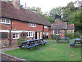
The Oak Inn, Ardingly
details: http://www.beerintheevening.com/pubs/s/34/34568/Oak_Inn/Ardingly
Image: © Paul Gillett
Taken: 12 Sep 2013
0.02 miles
9
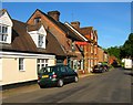
Fellows Bakery, Street Lane, Ardingly
An old fashioned bakery still going strong in the centre of the village, well used by the locals with the clientele augmented by visitors from the nearby South of England Showground.
Image: © Simon Carey
Taken: 27 May 2015
0.03 miles
10
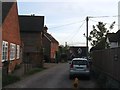
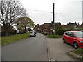
Street Lane, Ardingly
The small cul de sac retains the name of the highway it branches off having once been the entrance to an old brickyard which was not marked on Ardingly's 1840 tithe map but appears as a brick field on the 1875 OS map becoming a brick works by the 1897 edition. By the 1937 map the buildings had disappeared and a 1947 aerial photograph has the field to the south as rough ground. The cottages on the left are The Poplars and date from the late 19th century and may well have been part of the old brickworks. The building at the end is Gable Cottage which appears to date from the 1960s.
Image: © Simon Carey
Taken: 9 May 2015
0.03 miles