
IMAGES TAKEN NEAR TO
London Road, HAYWARDS HEATH, RH17 6HF
Introduction
This page details the photographs taken nearby to London Road, RH17 6HF by members of the Geograph project.
The Geograph project started in 2005 with the aim of publishing, organising and preserving representative images for every square kilometre of Great Britain, Ireland and the Isle of Man.

There are currently over 7.5m images from over14,400 individuals and you can help contribute to the project by visiting https://www.geograph.org.uk
Image Map
Images are licensed for reuse under creativecommons.org/licenses/by-sa/2.0
Notes
- Clicking on the map will re-center to the selected point.
- The higher the marker number, the further away the image location is from the centre of the postcode.
Image Listing (14 Images Found)
Images are licensed for reuse under creativecommons.org/licenses/by-sa/2.0
Image
Details
Distance
1
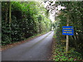
College Close Handcross
Although backing onto Handcross Park School there is no access. The school has occupied the site since 1968 but their origins date back to 1887.
Image: © Dave Spicer
Taken: 15 Oct 2012
0.14 miles
3
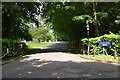
Secondary entrance to Handcross Park School
I think this is mainly for the sports field.
Image: © Dave Spicer
Taken: 15 Oct 2012
0.18 miles
4
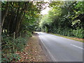
High Beeches Lane
Westbound to Handcross.
Image: © Dave Spicer
Taken: 15 Oct 2012
0.19 miles
6
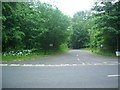
Entrance to Handcross Park School
College Road entrance
Image: © The Saunterer
Taken: 10 Jun 2012
0.19 miles
8

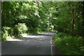
Veteran Car passing through Handcross, West Sussex
Image: © Christine Matthews
Taken: 1 Nov 2015
0.23 miles
9
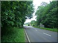
Slow Down!
Entry into Handcross along the London Road. 30MPH zone.
Image: © The Saunterer
Taken: 10 Jun 2012
0.23 miles
10
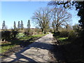
Road used as a permitted path on the Hyde Estate
Image: © Shazz
Taken: 25 Mar 2016
0.24 miles