
IMAGES TAKEN NEAR TO
Brantridge Park Drive, HAYWARDS HEATH, RH17 6FN
Introduction
This page details the photographs taken nearby to Brantridge Park Drive, RH17 6FN by members of the Geograph project.
The Geograph project started in 2005 with the aim of publishing, organising and preserving representative images for every square kilometre of Great Britain, Ireland and the Isle of Man.

There are currently over 7.5m images from over14,400 individuals and you can help contribute to the project by visiting https://www.geograph.org.uk
Image Map
Images are licensed for reuse under creativecommons.org/licenses/by-sa/2.0
Notes
- Clicking on the map will re-center to the selected point.
- The higher the marker number, the further away the image location is from the centre of the postcode.
Image Listing (19 Images Found)
Images are licensed for reuse under creativecommons.org/licenses/by-sa/2.0
Image
Details
Distance
1
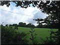
Great Field
The name of the field according to Cuckfield's 1843 tithe map that lies to the south of Image and east of Brantridge Lane though originally it was located to the west prior to the occupants of the newly expanded Brantridge Park shifting the road westwards.
Image: © Simon Carey
Taken: 25 Jul 2015
0.07 miles
3
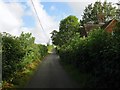
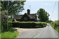
Brantridge Lodge, Brantridge Lane
Originally the south lodge for Brantridge Park and built in the 1850s alongside the new course of the lane which was diverted away from its originally route passed the front of the former farmhouse. The former north lodge is located at the junction with Handcross Road and is now called Midwicket.
Image: © Simon Carey
Taken: 25 Jul 2015
0.09 miles
4
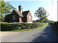
Brantbridge Lodge on Brantbridge Lane
A different view is at http://www.geograph.org.uk/photo/2453682,
Image: © Shazz
Taken: 4 Oct 2016
0.09 miles
7
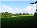
Middle Five Acres/Swan Field/Crap Grass Field
The name of the fields according to Cuckfield's 1843 tithe map that have been merged along with Image to the south to form a larger unit. To the north beyond the ridge is Image, to the east is Brantridge Lane whilst to the west is Blackfold Wood. Middle Five Acres began at the far end of the current shadows adjacent to the lane whilst Swan Field was to the right next to the woods. Crap Grass Field was further up the slope and I assume alludes to crabgrass.
Image: © Simon Carey
Taken: 25 Jul 2015
0.12 miles
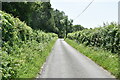
10
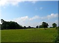
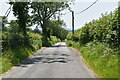
Five Acres/Crabtree Field
The name of the fields according to Cuckfield's 1843 tithe map that are located to the east of Brantridge Lane though originally they were to the west until the 1850s when the expansion of Brantridge Park shifted the highway to its current position. Five Acres was in the foreground whilst Crabtree field was in the distance with the hedgerow up the slope the boundary between that and Image to the south.
Image: © Simon Carey
Taken: 25 Jul 2015
0.17 miles