
IMAGES TAKEN NEAR TO
Cowfold Road, HAYWARDS HEATH, RH17 5SG
Introduction
This page details the photographs taken nearby to Cowfold Road, RH17 5SG by members of the Geograph project.
The Geograph project started in 2005 with the aim of publishing, organising and preserving representative images for every square kilometre of Great Britain, Ireland and the Isle of Man.

There are currently over 7.5m images from over14,400 individuals and you can help contribute to the project by visiting https://www.geograph.org.uk
Image Map
Images are licensed for reuse under creativecommons.org/licenses/by-sa/2.0
Notes
- Clicking on the map will re-center to the selected point.
- The higher the marker number, the further away the image location is from the centre of the postcode.
Image Listing (18 Images Found)
Images are licensed for reuse under creativecommons.org/licenses/by-sa/2.0
Image
Details
Distance
1
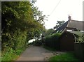
Purvey's Hill
A pair of cottages on the drive to Coombe House built between the wars.
Image: © Simon Carey
Taken: 7 Sep 2014
0.02 miles
2
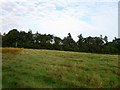
The Green
The name of the field according to Bolney's 1842 tithe map that has been merged with Image and Image to the east and Bond Field and Long Seven Acres to the north to form a larger unit.
Image: © Simon Carey
Taken: 31 Aug 2014
0.05 miles
3
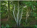
Purvey's Pit
The name of the wood that has grown up around a former pit probably mined for sandstone. To the north of the wood is Image and Image whilst to the south is Image
Image: © Simon Carey
Taken: 31 Aug 2014
0.08 miles
4
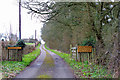
Private road to Coombe House
The public road ends at this gate. A few other houses are also reached this way, e.g. Purvey's Hill, visible ahead.
Image: © Robin Webster
Taken: 4 Apr 2010
0.10 miles
5
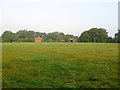
House Field
The name of the field according to Bolney's 1842 tithe map that lies to the north of Image and east of Image The house in question is Red House Farm which dates from the 17th century.
Image: © Simon Carey
Taken: 7 Sep 2014
0.11 miles
7
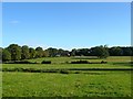
Bolney Ley/Eight Acres
The name of the fields according to Bolney's 1842 tithe map. Bolney Ley is the rectangular section between the two small hedgerows whilst Eight Acres occupies the slope beyond with the building Purvey's Hill near the summit. To the south is Image
Image: © Simon Carey
Taken: 23 Aug 2014
0.12 miles
8
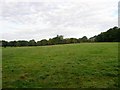
Toll Field/Eight Acres
The name of the fields according to Bolney's 1842 tithe map that have been merged to form a larger unit. Toll Field was in the foreground immediately to the north of Image whilst Eight Acres was in the distance and can also be seen here, Image The field is bounded by Image to the east and the drive to Coombe House in the west, whilst to the north the wood is Image
Image: © Simon Carey
Taken: 31 Aug 2014
0.12 miles
9
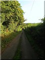
Drive to Coombe House
A public highway until the bottom of the slope whereupon it becomes a private road serving Purbvey's Hill, Coombe House and other dwellings. Up to the former the drive is a public footpath.
Image: © Simon Carey
Taken: 31 Aug 2014
0.13 miles
10
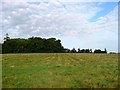
Three and a Half Acres
The name of the field according to Bolney's 1842 tithe map that has been merged with Image and Image to the west and Bond Field and Long Seven Acres to the north. The wood is Image beyond which to the south is Image
Image: © Simon Carey
Taken: 31 Aug 2014
0.15 miles