
IMAGES TAKEN NEAR TO
Cross Colwood Lane, HAYWARDS HEATH, RH17 5RY
Introduction
This page details the photographs taken nearby to Cross Colwood Lane, RH17 5RY by members of the Geograph project.
The Geograph project started in 2005 with the aim of publishing, organising and preserving representative images for every square kilometre of Great Britain, Ireland and the Isle of Man.

There are currently over 7.5m images from over14,400 individuals and you can help contribute to the project by visiting https://www.geograph.org.uk
Image Map
Images are licensed for reuse under creativecommons.org/licenses/by-sa/2.0
Notes
- Clicking on the map will re-center to the selected point.
- The higher the marker number, the further away the image location is from the centre of the postcode.
Image Listing (17 Images Found)
Images are licensed for reuse under creativecommons.org/licenses/by-sa/2.0
Image
Details
Distance
1
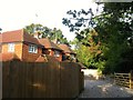
East Glen Cottage/West Glen Cottage
Viewed from the bridleway to Rout Farm and Warninglid the dwellings seem to date from the 1970s.
Image: © Simon Carey
Taken: 25 Sep 2014
0.01 miles
2
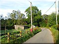
Cross Colwood Lane
Looking westwards towards Westlands. The lane continues northwards from Foxhole Lane before turning west and terminating at Spronkett's Lane.
Image: © Simon Carey
Taken: 25 Sep 2014
0.02 miles
3
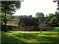
The Old Stables, Colwood Park
The former stables of Image have been converted into a dwelling.
Image: © Simon Carey
Taken: 25 Sep 2014
0.10 miles
4
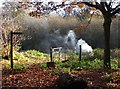
Public footpath near Bolney
A small fire was lit allowing the smoke to softly drift upwards at an angle on this still winter's day.
Image: © nick macneill
Taken: 6 Dec 2013
0.11 miles
5
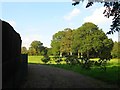
Long Mead
The name of the field according to Bolney's 1842 tithe map that lies to the north of Cross Colwood Lane. The fence on the left marks the location of the drive to Chatesgrove.
Image: © Simon Carey
Taken: 19 Sep 2014
0.12 miles
6
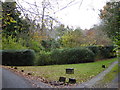
Colwood Park House seen from the drive junction with Cross Colwood Lane
Image: © Shazz
Taken: 23 Nov 2016
0.13 miles
7
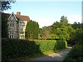
Colwood Park
Large 19th century house on Cross Colwood Lane.
Image: © Simon Carey
Taken: 19 Sep 2014
0.13 miles
8
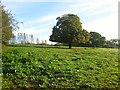
Barn Plat
The name of the field according to Bolney's 1842 tithe map that has been merged with Image to the north to form a larger unit. The tree marks the location of the former boundary between the two. The field lies to the north of Image
Image: © Simon Carey
Taken: 25 Sep 2014
0.14 miles
9
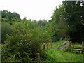
Footpath to Old Mill Farm
Taken from Cross Colwood Lane.
Image: © Simon Carey
Taken: 26 Aug 2006
0.14 miles
10
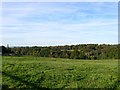
Barn Field/Barn Mead
The name of the fields according to Bolney's 1842 tithe map that have been merged to form a larger unit. Barn Field was to the north in the foreground whilst Barn Mead was to south further down the slope. The house in shadow to tyne left is Overhill whilst the view stretches down the South Downs in the far distance. The field lies to the west of Image and Image
Image: © Simon Carey
Taken: 25 Sep 2014
0.16 miles