IMAGES TAKEN NEAR TO
London Road, HAYWARDS HEATH, RH17 5ES
Introduction
This page details the photographs taken nearby to London Road, RH17 5ES by members of the Geograph project.
The Geograph project started in 2005 with the aim of publishing, organising and preserving representative images for every square kilometre of Great Britain, Ireland and the Isle of Man.

There are currently over 7.5m images from over14,400 individuals and you can help contribute to the project by visiting https://www.geograph.org.uk
Image Map
Images are licensed for reuse under creativecommons.org/licenses/by-sa/2.0
Notes
- Clicking on the map will re-center to the selected point.
- The higher the marker number, the further away the image location is from the centre of the postcode.
Image Listing (61 Images Found)
Images are licensed for reuse under creativecommons.org/licenses/by-sa/2.0
Image
Details
Distance
1
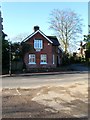
Knowle Lodge, London Road, Cuckfield
Dating from the mid Victorian period and originally a lodge for a house called Knowle which has since been demolished and replaced with Image
Image: © Simon Carey
Taken: 6 Dec 2014
0.02 miles
2
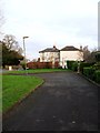
Whitmore and Whitland, London Road, Cuckfield
Originally a single mid victorian villa called Whitmore it was split into two dwellings sometime in the 1960s. Whitmore is now house on the left and Whitland is that to the right. The building is located on the corner of London Road and Polestub Lane.
Image: © Simon Carey
Taken: 20 Dec 2014
0.03 miles
3
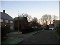
The Knowle, Cuckfield
Small cul de sac off London Road built in the last decade or so on the grounds of a former Victorian house called Knowle. Only the former lodge survives.
Image: © Simon Carey
Taken: 6 Dec 2014
0.03 miles
4
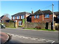
Pelham House, London Road, Cuckfield Road
Former Victorian villa that has been converted into a care home.
Image: © Simon Carey
Taken: 6 Dec 2014
0.04 miles
5
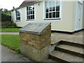
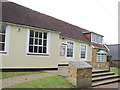
Cuckfield Baptist Chapel off London Road
Image: © Dave Spicer
Taken: 10 Jul 2011
0.05 miles
6
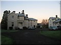
The Tower House, Tower House Close, Cuckfield
Large Victorian house built on a former field called Jenners Mead according to Cuckfield's 1843 tithe map. The grounds of the house NOW contain Tower House Close, a small retirement estate, built in the late 1970s.
Image: © Simon Carey
Taken: 6 Dec 2014
0.05 miles
7
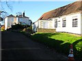
Cuckfield Baptist Church, Polestub Lane, Cuckfield
Parts of the building date back to 1772 when it was opened in what was then the corner of a field. The original church closed in 1820 and for a while the building was used as a barn until it reopened in 1841 with varying success until the Second World War after which the congregation was reduced to one and in 1957 threatened with closure. With help from a Brighton church, the Tabernacle, a new period of growth began which included extending the church buildings in 1968. This success has continued with the purchase of neighbouring Image as the church manse in 1978 and the current building of a new church a little to the east next to the current car park. Part of the finances needed for that project will be raised by the eventual sale of the current building. The white house beyond is Whitland.
Image: © Simon Carey
Taken: 6 Dec 2014
0.05 miles
9
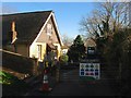
Polestub Cottage, Polestub Lane, Cuckfield
Since 1978 the manse for neighbouring Image The building activities in view are for a new church to replace the older building.
Image: © Simon Carey
Taken: 6 Dec 2014
0.06 miles