
IMAGES TAKEN NEAR TO
Lower Village, HAYWARDS HEATH, RH16 4GS
Introduction
This page details the photographs taken nearby to Lower Village, RH16 4GS by members of the Geograph project.
The Geograph project started in 2005 with the aim of publishing, organising and preserving representative images for every square kilometre of Great Britain, Ireland and the Isle of Man.

There are currently over 7.5m images from over14,400 individuals and you can help contribute to the project by visiting https://www.geograph.org.uk
Image Map
Images are licensed for reuse under creativecommons.org/licenses/by-sa/2.0
Notes
- Clicking on the map will re-center to the selected point.
- The higher the marker number, the further away the image location is from the centre of the postcode.
Image Listing (49 Images Found)
Images are licensed for reuse under creativecommons.org/licenses/by-sa/2.0
Image
Details
Distance
1
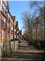
Juniper Court, Bolnore Village
The southern part of the housing which overlooks a small stream beyond which is Image
Image: © Simon Carey
Taken: 7 Mar 2015
0.04 miles
2
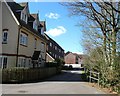
Whitebeam Mews, Bolnore Village
A small cul de sac off Middle Village at the northern end of the lower part of the new development.
Image: © Simon Carey
Taken: 31 Mar 2015
0.05 miles
3
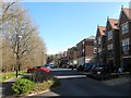
Brooklands, Bolnore Village
A cul de sac off Lower Village Street which is located opposite Image and is separated by a small stream.
Image: © Simon Carey
Taken: 7 Mar 2015
0.05 miles
4
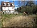
Brooklands Pond
The reed covered pond lies between the lower village of the Bolnore development and the remnant of Pierce's Wood. The pond seems to have been made as part of the development as it is not marked on any old maps. The house is part of Whitebeam Mews.
Image: © Simon Carey
Taken: 31 Mar 2015
0.06 miles
5
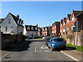
Lower Village, Bolnore Village
This section runs between Cherry Place and Lower Village Street.
Image: © Simon Carey
Taken: 7 Mar 2015
0.07 miles
6
Pierce's Lane, Bolnore Village
Located off Middle Village and adjacent to the remnant of Pierce's Wood the rest of which is now occupied by this road.
Image: © Simon Carey
Taken: 7 Mar 2015
0.07 miles
7
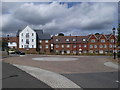
Housing at Middle Village/Pierces Lane
Recent housing in the Middle Village area of Bolnore Village.
Image: © Curtis Bateman
Taken: 26 Jul 2010
0.08 miles
8
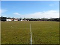
Tim Farmer Recreation Ground, Bolnore Village
Originally known as Bolnore Village Recreation Ground it was renamed in memory of a local Conservative councillor who passed away after battling cancer during the summer of 2014. To the left is Image Much of the recreation ground was once Eleven Acre Wood. See also Image
Image: © Simon Carey
Taken: 7 Mar 2015
0.08 miles
9
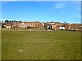
Tim Farmer Recreation Ground, Bolnore Village
The eastern end of the large recreation ground in the middle of the Bolnore development. See also Image
Image: © Simon Carey
Taken: 7 Mar 2015
0.09 miles
10
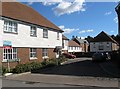
Farriers Lea, Bolnore Village
A cul de sac off Middle Village at the southern end of the middle portion of the new development.
Image: © Simon Carey
Taken: 31 Mar 2015
0.09 miles