IMAGES TAKEN NEAR TO
Amberley Close, BURGESS HILL, RH15 8JB
Introduction
This page details the photographs taken nearby to Amberley Close, RH15 8JB by members of the Geograph project.
The Geograph project started in 2005 with the aim of publishing, organising and preserving representative images for every square kilometre of Great Britain, Ireland and the Isle of Man.

There are currently over 7.5m images from over14,400 individuals and you can help contribute to the project by visiting https://www.geograph.org.uk
Image Map
Images are licensed for reuse under creativecommons.org/licenses/by-sa/2.0
Notes
- Clicking on the map will re-center to the selected point.
- The higher the marker number, the further away the image location is from the centre of the postcode.
Image Listing (23 Images Found)
Images are licensed for reuse under creativecommons.org/licenses/by-sa/2.0
Image
Details
Distance
3
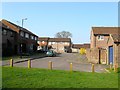
Blackstone Way, Burgess Hill
A cul de sac off Maple Drive that was built in the mid 1980s.
Image: © Simon Carey
Taken: 9 Apr 2015
0.11 miles
5
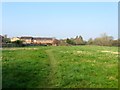
Footpath to Fairplace Hill
Skirting the northern edge of Burgess Hill. The path originally connected Freek's Lane to Chapel Farm.
Image: © Simon Carey
Taken: 9 Apr 2015
0.12 miles
6
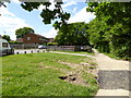
Footpath passes play area at end of Blackstone Way
Image: © Shazz
Taken: 24 May 2016
0.13 miles
7
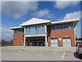
Sidney West Centre, Burgess Hill
Home to a variety of NHS services including Primary Care and Podiatry.
Image: © Richard Rogerson
Taken: 16 Apr 2018
0.16 miles
8
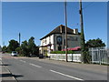
The Windmill on Leylands Road
On the far side of the pub is Freek's Lane.
Image: © Dave Spicer
Taken: 7 Sep 2012
0.17 miles