IMAGES TAKEN NEAR TO
Kirdford, BILLINGSHURST, RH14 0LP
Introduction
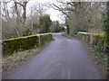
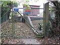
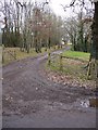
This page details the photographs taken nearby to RH14 0LP by members of the Geograph project.
The Geograph project started in 2005 with the aim of publishing, organising and preserving representative images for every square kilometre of Great Britain, Ireland and the Isle of Man.

There are currently over 7.5m images from over14,400 individuals and you can help contribute to the project by visiting https://www.geograph.org.uk
Image Map
Images are licensed for reuse under creativecommons.org/licenses/by-sa/2.0
Notes
- Clicking on the map will re-center to the selected point.
- The higher the marker number, the further away the image location is from the centre of the postcode.
Image Listing (72 Images Found)
Images are licensed for reuse under creativecommons.org/licenses/by-sa/2.0
Image
Details
Distance
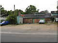
6
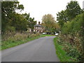
Roadside cottages on the outskirts of Kirdford
Image: © Dave Spicer
Taken: 17 Oct 2009
0.05 miles
10
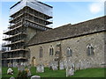
Kirdford Parish Church
New winter hat being fitted
Image: © Dave Spicer
Taken: 19 Dec 2008
0.17 miles