
IMAGES TAKEN NEAR TO
Fittleworth Road, BILLINGSHURST, RH14 0EY
Introduction
This page details the photographs taken nearby to Fittleworth Road, RH14 0EY by members of the Geograph project.
The Geograph project started in 2005 with the aim of publishing, organising and preserving representative images for every square kilometre of Great Britain, Ireland and the Isle of Man.

There are currently over 7.5m images from over14,400 individuals and you can help contribute to the project by visiting https://www.geograph.org.uk
Image Map
Images are licensed for reuse under creativecommons.org/licenses/by-sa/2.0
Notes
- Clicking on the map will re-center to the selected point.
- The higher the marker number, the further away the image location is from the centre of the postcode.
Image Listing (12 Images Found)
Images are licensed for reuse under creativecommons.org/licenses/by-sa/2.0
Image
Details
Distance
1
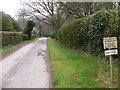
Pallingham Lane looking east
This private lane leads to Pallingham Manor Farm.
Image: © Shazz
Taken: 3 Apr 2011
0.03 miles
4
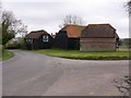
Buildings at Coldharbour Farm on Fittleworth Lane
Image: © Shazz
Taken: 3 Apr 2011
0.08 miles
5
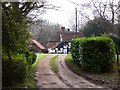
House off Horsebridge Hill
A similar view taken fifteen days later in the month two years ago shows that this Spring has a lot of catching up to do. See http://www.geograph.org.uk/photo/1259041.
Image: © Shazz
Taken: 3 Apr 2011
0.16 miles
6
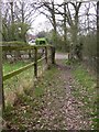
Footpath from the west arrives at Horsebridge Hill
Image: © Shazz
Taken: 3 Apr 2011
0.17 miles
7
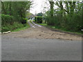
Entrance to Fowlers
On country road near Horse Bridge
Image: © Dave Spicer
Taken: 18 Apr 2009
0.18 miles
9
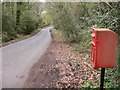
Postbox on Horsebridge Hill
There is a similar picture at http://www.geograph.org.uk/photo/2083466 taken seven months earlier.
Image: © Shazz
Taken: 3 Apr 2011
0.19 miles
10
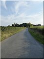
Fittleworth Road
Linking the A272 west of Wisborough Green with the A283 at Fittleworth. Beyond the small rise the road becomes Horsebridge Hill.
Image: © Simon Carey
Taken: 21 Sep 2024
0.22 miles