IMAGES TAKEN NEAR TO
Depot Road, HORSHAM, RH13 5HD
Introduction
This page details the photographs taken nearby to Depot Road, RH13 5HD by members of the Geograph project.
The Geograph project started in 2005 with the aim of publishing, organising and preserving representative images for every square kilometre of Great Britain, Ireland and the Isle of Man.

There are currently over 7.5m images from over14,400 individuals and you can help contribute to the project by visiting https://www.geograph.org.uk
Image Map
Images are licensed for reuse under creativecommons.org/licenses/by-sa/2.0
Notes
- Clicking on the map will re-center to the selected point.
- The higher the marker number, the further away the image location is from the centre of the postcode.
Image Listing (51 Images Found)
Images are licensed for reuse under creativecommons.org/licenses/by-sa/2.0
Image
Details
Distance

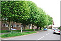
3
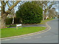
The southern end of Stirling Way
See also http://www.geograph.org.uk/photo/1287849 from 2009.
Image: © Shazz
Taken: 29 Feb 2016
0.04 miles
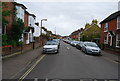
5
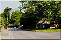
Depot Road, Horsham, Sussex
From the junction with Stirling Way.
Image: © Peter Trimming
Taken: 5 Jun 2010
0.09 miles
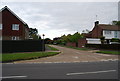
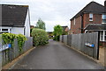
7
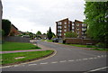
Ayshe Court Drive, Depot Rd
The junction is in this square but the flats behind are in the adjoining square
Image: © N Chadwick
Taken: 3 May 2009
0.09 miles