IMAGES TAKEN NEAR TO
Station Road, HORSHAM, RH13 5EU
Introduction
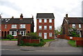
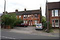
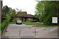
This page details the photographs taken nearby to Station Road, RH13 5EU by members of the Geograph project.
The Geograph project started in 2005 with the aim of publishing, organising and preserving representative images for every square kilometre of Great Britain, Ireland and the Isle of Man.

There are currently over 7.5m images from over14,400 individuals and you can help contribute to the project by visiting https://www.geograph.org.uk
Image Map
Images are licensed for reuse under creativecommons.org/licenses/by-sa/2.0
Notes
- Clicking on the map will re-center to the selected point.
- The higher the marker number, the further away the image location is from the centre of the postcode.
Image Listing (208 Images Found)
Images are licensed for reuse under creativecommons.org/licenses/by-sa/2.0
Image
Details
Distance
3
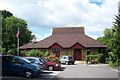
Salvation Army community centre in Horsham
Appropriately located in Booth Way.
Image: © Elliott Simpson
Taken: 4 Jul 2007
0.01 miles

10
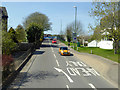
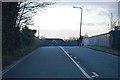
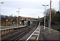
North Street, Horsham
Ramping up to cross the railway.
Image: © Robin Webster
Taken: 18 Apr 2018
0.05 miles