IMAGES TAKEN NEAR TO
Bracken Grove, HORSHAM, RH12 4NE
Introduction
This page details the photographs taken nearby to Bracken Grove, RH12 4NE by members of the Geograph project.
The Geograph project started in 2005 with the aim of publishing, organising and preserving representative images for every square kilometre of Great Britain, Ireland and the Isle of Man.

There are currently over 7.5m images from over14,400 individuals and you can help contribute to the project by visiting https://www.geograph.org.uk
Image Map
Images are licensed for reuse under creativecommons.org/licenses/by-sa/2.0
Notes
- Clicking on the map will re-center to the selected point.
- The higher the marker number, the further away the image location is from the centre of the postcode.
Image Listing (122 Images Found)
Images are licensed for reuse under creativecommons.org/licenses/by-sa/2.0
Image
Details
Distance
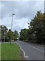
1
Crawley Road, Roffey
Heading into Horsham.
Image: © Robin Webster
Taken: 18 Apr 2018
0.03 miles
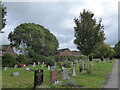
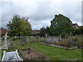
7
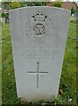
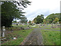
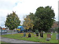
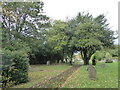
Inside Roffey Cemetery (b)
Service record of F Davies https://www.cwgc.org/find-records/find-war-dead/casualty-details/402544/F%20DAVIES/
Image: © Basher Eyre
Taken: 7 Oct 2020
0.06 miles
9
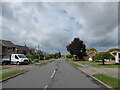
Looking west-northwest along Shepherds Way
Image: © Basher Eyre
Taken: 7 Oct 2020
0.07 miles