IMAGES TAKEN NEAR TO
Lambs Farm Road, HORSHAM, RH12 4DQ
Introduction
This page details the photographs taken nearby to Lambs Farm Road, RH12 4DQ by members of the Geograph project.
The Geograph project started in 2005 with the aim of publishing, organising and preserving representative images for every square kilometre of Great Britain, Ireland and the Isle of Man.

There are currently over 7.5m images from over14,400 individuals and you can help contribute to the project by visiting https://www.geograph.org.uk
Image Map
Images are licensed for reuse under creativecommons.org/licenses/by-sa/2.0
Notes
- Clicking on the map will re-center to the selected point.
- The higher the marker number, the further away the image location is from the centre of the postcode.
Image Listing (13 Images Found)
Images are licensed for reuse under creativecommons.org/licenses/by-sa/2.0
Image
Details
Distance
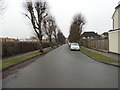
4
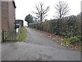
Path to recreation ground on Leith View Road
Image: © David Howard
Taken: 30 Jan 2017
0.21 miles
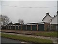
5
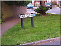
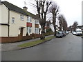
Dale Close
A small cul-de-sac located just south of Littlehaven Station
Image: © Jamie Cormack
Taken: 25 May 2004
0.21 miles
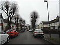
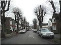
9

All Saints Church Roffey West Sussex
Image: © Pauline Hobbins
Taken: 18 Mar 2006
0.23 miles