IMAGES TAKEN NEAR TO
Jubilee Road, HORSHAM, RH12 3EU
Introduction
This page details the photographs taken nearby to Jubilee Road, RH12 3EU by members of the Geograph project.
The Geograph project started in 2005 with the aim of publishing, organising and preserving representative images for every square kilometre of Great Britain, Ireland and the Isle of Man.

There are currently over 7.5m images from over14,400 individuals and you can help contribute to the project by visiting https://www.geograph.org.uk
Image Map
Images are licensed for reuse under creativecommons.org/licenses/by-sa/2.0
Notes
- Clicking on the map will re-center to the selected point.
- The higher the marker number, the further away the image location is from the centre of the postcode.
Image Listing (48 Images Found)
Images are licensed for reuse under creativecommons.org/licenses/by-sa/2.0
Image
Details
Distance
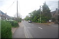
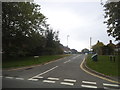
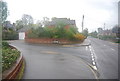
2
Secretts, Rudgwick
An organic farm shop and more. http://www.secretts.co.uk/
Image: © N Chadwick
Taken: 2 May 2010
0.06 miles
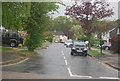
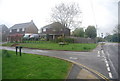
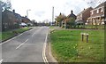
8
Exploring eastwards along the Bashire (18)
Looking from Kilnfield Road into Church Street
Image: © Basher Eyre
Taken: 18 Sep 2020
0.07 miles
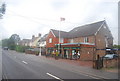
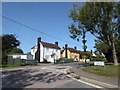
10
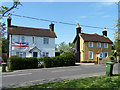
Willow Cottage and Autumn Cottage, Rudgwick
Both grade II listed, early 19th century.
Image: © Robin Webster
Taken: 22 Apr 2011
0.09 miles