IMAGES TAKEN NEAR TO
Longfield Road, HORSHAM, RH12 1LG
Introduction
This page details the photographs taken nearby to Longfield Road, RH12 1LG by members of the Geograph project.
The Geograph project started in 2005 with the aim of publishing, organising and preserving representative images for every square kilometre of Great Britain, Ireland and the Isle of Man.

There are currently over 7.5m images from over14,400 individuals and you can help contribute to the project by visiting https://www.geograph.org.uk
Image Map
Images are licensed for reuse under creativecommons.org/licenses/by-sa/2.0
Notes
- Clicking on the map will re-center to the selected point.
- The higher the marker number, the further away the image location is from the centre of the postcode.
Image Listing (48 Images Found)
Images are licensed for reuse under creativecommons.org/licenses/by-sa/2.0
Image
Details
Distance
1
Railway footbridge from the path on Tower Hill
Image: © Dave Spicer
Taken: 2 Jan 2010
0.09 miles
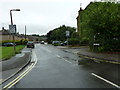
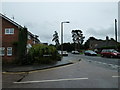
2
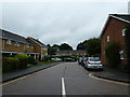
Hengist Close
Taken from Blackbridge Lane.
Image: © Basher Eyre
Taken: 22 Aug 2010
0.11 miles
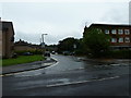
3
Junction of Blackbridge Lane and Arunside
Image: © Basher Eyre
Taken: 22 Aug 2010
0.12 miles
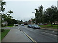
6
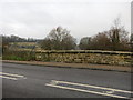
Railway bridge
Bridge TBH1 362 Worthing Road B2237 over the Three Bridges to Havant Railway
Image: © The Saunterer
Taken: 5 Dec 2012
0.14 miles
8
Approaching the junction of Blackbridge Lane and Three Acres
Image: © Basher Eyre
Taken: 22 Aug 2010
0.14 miles
9
Looking from Tanbridge Place into Blackbridge Lane
Image: © Basher Eyre
Taken: 22 Aug 2010
0.14 miles
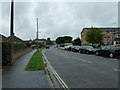
10
Looking from Blackbridge Lane into Jockey Mead
Image: © Basher Eyre
Taken: 22 Aug 2010
0.14 miles