
IMAGES TAKEN NEAR TO
Chetwood Road, CRAWLEY, RH11 8GD
Introduction
This page details the photographs taken nearby to Chetwood Road, RH11 8GD by members of the Geograph project.
The Geograph project started in 2005 with the aim of publishing, organising and preserving representative images for every square kilometre of Great Britain, Ireland and the Isle of Man.

There are currently over 7.5m images from over14,400 individuals and you can help contribute to the project by visiting https://www.geograph.org.uk
Image Map
Images are licensed for reuse under creativecommons.org/licenses/by-sa/2.0
Notes
- Clicking on the map will re-center to the selected point.
- The higher the marker number, the further away the image location is from the centre of the postcode.
Image Listing (85 Images Found)
Images are licensed for reuse under creativecommons.org/licenses/by-sa/2.0
Image
Details
Distance
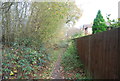
1
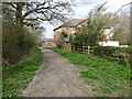
Bridleway 1550, Bewbush, Crawley
Along the west edge of Bewbush and Crawley Borough.
Image: © Robin Webster
Taken: 27 Mar 2021
0.01 miles
3
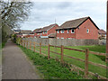
Houses on Manorfields, Bewbush, Crawley
Backing on to bridleway 1550.
Image: © Robin Webster
Taken: 27 Mar 2021
0.02 miles
4
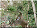
Spruce Hill Brook where it forms a moat, Bewbush, Crawley
Looking north, downstream, where it forms the two remaining wet sides of the partially dewatered moat around Bewbush Manor. The moated site is a Scheduled Ancient Monument. Note that the Historic England description has the stream flow back to front.
Image: © Robin Webster
Taken: 27 Mar 2021
0.03 miles
6
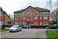
Flats, Chetwood Road, Bewbush, Crawley
Image: © Robin Webster
Taken: 27 Mar 2021
0.04 miles
7
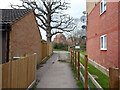
Path from Chetwood Road to bridleway 1550, Bewbush, Crawley
Also a way through to the Kilnwood Vale development in Horsham District.
Image: © Robin Webster
Taken: 27 Mar 2021
0.05 miles
8
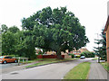
Large oak near Bewbush Manor House, Crawley
The car park for the manor house is on the left, the tree was doubtless in its immediate grounds originally.
Image: © Robin Webster
Taken: 22 Aug 2013
0.05 miles
9
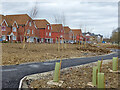
Housing on Arun Valley Way, Kilnwood Vale
Kilnwood Vale is a new development stuck on the west side of Crawley, but in Horsham District.
Image: © Robin Webster
Taken: 27 Mar 2021
0.05 miles
10
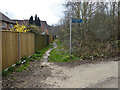
Partial diversion of bridleway 1550, Bewbush, Crawley
The old route straight on still appears to be valid, but a new route to the right is encouraged, a very much better path, but a long way round for through traffic. The long route has the merit of crossing the busy A264 dual carriageway via a pedestrian crossing with lights. The old route has no provision at all.
Image: © Robin Webster
Taken: 27 Mar 2021
0.05 miles