IMAGES TAKEN NEAR TO
Woodside Road, CRAWLEY, RH10 8EQ
Introduction
This page details the photographs taken nearby to Woodside Road, RH10 8EQ by members of the Geograph project.
The Geograph project started in 2005 with the aim of publishing, organising and preserving representative images for every square kilometre of Great Britain, Ireland and the Isle of Man.

There are currently over 7.5m images from over14,400 individuals and you can help contribute to the project by visiting https://www.geograph.org.uk
Image Map
Images are licensed for reuse under creativecommons.org/licenses/by-sa/2.0
Notes
- Clicking on the map will re-center to the selected point.
- The higher the marker number, the further away the image location is from the centre of the postcode.
Image Listing (59 Images Found)
Images are licensed for reuse under creativecommons.org/licenses/by-sa/2.0
Image
Details
Distance
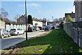
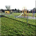
2
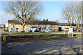
Houses on Woodside Road, Northgate, Crawley
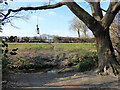
Looking over Northgate Playing Field.
Image: © Robin Webster
Taken: 28 Feb 2021
0.05 miles
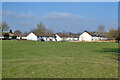
4
Houses on Cloverlands, Northgate, Crawley
Looking across Northgate Avenue, with which there is no vehicle connection.
Image: © Robin Webster
Taken: 28 Feb 2021
0.07 miles
6
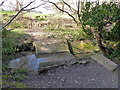
Weir on Crawter's Brook, Northgate, Crawley
Image: © Robin Webster
Taken: 28 Feb 2021
0.09 miles
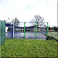
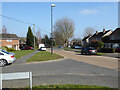
9
Kids' swing over Crawter's Brook, Northgate, Crawley
Strangely rigged.
Image: © Robin Webster
Taken: 28 Feb 2021
0.10 miles
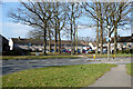
10
Houses on Woodfield Road, Northgate, Crawley
Image: © Robin Webster
Taken: 28 Feb 2021
0.10 miles