IMAGES TAKEN NEAR TO
Gloucester Road, CRAWLEY, RH10 5HN
Introduction
This page details the photographs taken nearby to Gloucester Road, RH10 5HN by members of the Geograph project.
The Geograph project started in 2005 with the aim of publishing, organising and preserving representative images for every square kilometre of Great Britain, Ireland and the Isle of Man.

There are currently over 7.5m images from over14,400 individuals and you can help contribute to the project by visiting https://www.geograph.org.uk
Image Map
Images are licensed for reuse under creativecommons.org/licenses/by-sa/2.0
Notes
- Clicking on the map will re-center to the selected point.
- The higher the marker number, the further away the image location is from the centre of the postcode.
Image Listing (68 Images Found)
Images are licensed for reuse under creativecommons.org/licenses/by-sa/2.0
Image
Details
Distance
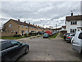
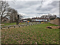
8
Houses at Ashdown Drive / Canterbury Road junction
Image: © Roger Templeman
Taken: 19 Sep 2015
0.13 miles
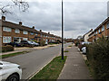
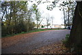
9
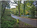
Tilgate Drive, Tilgate Park, Crawley
A useful but bumpy car park is on the right. The drive is also public footpath 3392.
Image: © Robin Webster
Taken: 29 Oct 2022
0.13 miles
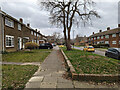
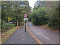
10
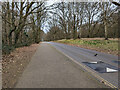
Tilgate Drive, Tilgate Park, Crawley
Also public footpath 3392.
Image: © Robin Webster
Taken: 6 Mar 2023
0.13 miles