
IMAGES TAKEN NEAR TO
Old Hollow, CRAWLEY, RH10 4TA
Introduction
This page details the photographs taken nearby to Old Hollow, RH10 4TA by members of the Geograph project.
The Geograph project started in 2005 with the aim of publishing, organising and preserving representative images for every square kilometre of Great Britain, Ireland and the Isle of Man.

There are currently over 7.5m images from over14,400 individuals and you can help contribute to the project by visiting https://www.geograph.org.uk
Image Map
Images are licensed for reuse under creativecommons.org/licenses/by-sa/2.0
Notes
- Clicking on the map will re-center to the selected point.
- The higher the marker number, the further away the image location is from the centre of the postcode.
Image Listing (14 Images Found)
Images are licensed for reuse under creativecommons.org/licenses/by-sa/2.0
Image
Details
Distance
1
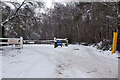
Rossmore Oysters & angler car park entrance
The car park is right. The way left appears to go to the private part of the enterprise, which warns of its CCTV on the sign.
Image: © Robin Webster
Taken: 11 Jan 2010
0.06 miles
4
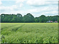
Field of barley
Looking west from footpath 14W.
Image: © Robin Webster
Taken: 11 Jun 2014
0.11 miles
5
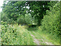
Public footpath 14W
Heading north towards Leyhouse Farm.
Image: © Robin Webster
Taken: 11 Jun 2014
0.15 miles
6
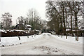
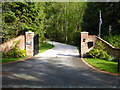
Private road, public footpath
The drive to several properties.
Image: © Robin Webster
Taken: 11 Jan 2010
0.17 miles
7
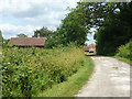
Public footpath 14W
Heading towards Leyhouse Farm. The track is well used because it is the way to an anglers' car park.
Image: © Robin Webster
Taken: 11 Jun 2014
0.18 miles
8
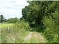
Public footpath 14W
A field edge track south of Leyhouse Farm, with barley growing to the left.
Image: © Robin Webster
Taken: 11 Jun 2014
0.18 miles
9
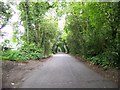
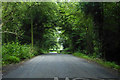
Old Hollow
A country lane leading into a "green tunnel"
Image: © Elliott Simpson
Taken: 30 May 2008
0.19 miles
10
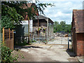
Farmyard, Leyhouse Farm
Viewed from footpath 14W, which is mapped as passing through the yard, but actually is signed to turn right immediately after the building on the right and then left down an alley, so avoiding the yard. The way left is for vehicle access from Old Hollow (lane) to the fishing lake car park, and is signed as 'Private, no footpath'.
Image: © Robin Webster
Taken: 11 Jun 2014
0.19 miles