
IMAGES TAKEN NEAR TO
Adwell Drive, READING, RG6 4JY
Introduction
This page details the photographs taken nearby to Adwell Drive, RG6 4JY by members of the Geograph project.
The Geograph project started in 2005 with the aim of publishing, organising and preserving representative images for every square kilometre of Great Britain, Ireland and the Isle of Man.

There are currently over 7.5m images from over14,400 individuals and you can help contribute to the project by visiting https://www.geograph.org.uk
Image Map
Images are licensed for reuse under creativecommons.org/licenses/by-sa/2.0
Notes
- Clicking on the map will re-center to the selected point.
- The higher the marker number, the further away the image location is from the centre of the postcode.
Image Listing (6 Images Found)
Images are licensed for reuse under creativecommons.org/licenses/by-sa/2.0
Image
Details
Distance
1
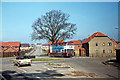
Carshalton Way, 1985
The junction with Cutbush Lane. The area was still very much in development at the time; today there is much more vegetation - private and public!
Image: © Alan Murray-Rust
Taken: Unknown
0.17 miles
2
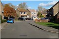
Cannock Way, Earley
Turning off this road include Tamworth Close and Lichfield Close so there's an obvious theme in the naming. However, Elford Close goes off to the right here and most people will have to do a little research to find out that Elford is a just a village close to those towns. The name Sturbridge Close is a stranger choice since that seems to be named after a mere hamlet in Staffordshire, but some distance from the other places.
Image: © Andrew Smith
Taken: 4 Nov 2020
0.19 miles
3
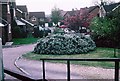
Lower Earley
Towards the east, and the older part of the huge Lower Earley expansion, the houses are smaller, still in leafy, sinuous culs-de-sac. Shops and services are scarce and residents are dependent on the car. This is still an area of very high house prices though.
Image: © Rosalind Mitchell
Taken: 28 Apr 2005
0.20 miles
4
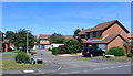
Porter Close, Lower Earley
Lower Earley is full ofl small cul de sacs like this, serving a dozen or so houses and connected by a few winding through roads known only to locals and bus drivers.
Image: © Des Blenkinsopp
Taken: 24 Jul 2019
0.21 miles
5
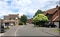
Strand Way, Lower Earley
Junction of Strand Way and Westminster Way.
Image: © Des Blenkinsopp
Taken: 8 Jun 2015
0.21 miles
6
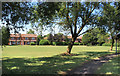
Park off Chatteris Way
A small park surrounded by housing.
Image: © Des Blenkinsopp
Taken: 24 Jul 2019
0.22 miles