IMAGES TAKEN NEAR TO
Samborne Drive, WOKINGHAM, RG40 1GF
Introduction
This page details the photographs taken nearby to Samborne Drive, RG40 1GF by members of the Geograph project.
The Geograph project started in 2005 with the aim of publishing, organising and preserving representative images for every square kilometre of Great Britain, Ireland and the Isle of Man.

There are currently over 7.5m images from over14,400 individuals and you can help contribute to the project by visiting https://www.geograph.org.uk
Image Map
Images are licensed for reuse under creativecommons.org/licenses/by-sa/2.0
Notes
- Clicking on the map will re-center to the selected point.
- The higher the marker number, the further away the image location is from the centre of the postcode.
Image Listing (25 Images Found)
Images are licensed for reuse under creativecommons.org/licenses/by-sa/2.0
Image
Details
Distance
1
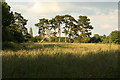
Scrubland off London Road
Rough land by London Road
Image: © Richard Croft
Taken: 19 Jun 2012
0.02 miles
2
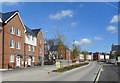
William Heelas Way
A new housing development, still under construction at the far end of the road.
William Heelas opened a drapery shop in Wokingham in the 1790s, and another in Reading a bit later.
The Wokingham shop is gone, but the Reading branch grew into the town's biggest department store and is still in business as part of the John Lewis group.
Image: © Des Blenkinsopp
Taken: 3 Apr 2017
0.05 miles
3
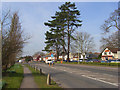
The A329, Wokingham
The London Road entering the eastern edge of the town with houses and a greasy-spoon on the right hand-side.
Image: © Andrew Smith
Taken: 17 Mar 2009
0.07 miles
4
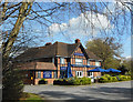
Loch Fyne Restaurant
A typical pre war roadside pub, still in the catering business but any clues to its former identity are lost under the Loch Fyne corporate signage.
It's on the corner of Plough Lane, so was it The Plough?
Image: © Des Blenkinsopp
Taken: 3 Apr 2017
0.08 miles
5
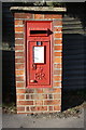
Benchmark on letter box at Plough Lane / London Road junction
Ordnance Survey cut mark benchmark described on the Bench Mark Database at http://www.bench-marks.org.uk/bm65164
Image: © Roger Templeman
Taken: 6 Mar 2015
0.08 miles
6
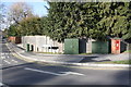
Junction of Plough Lane with London Road
There is an OS benchmark Image on the pillar box near the right hand edge of the image
Image: © Roger Templeman
Taken: 6 Mar 2015
0.09 miles
7
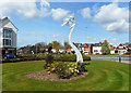
Artwork on the Green
This is by the entrance to a new housing development along William Heelas Way.
Image: © Des Blenkinsopp
Taken: 3 Apr 2017
0.10 miles
8
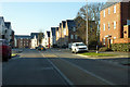
William Heelas Way, Wokingham
A rather new development.
Image: © Robin Webster
Taken: 19 Jan 2020
0.11 miles