
IMAGES TAKEN NEAR TO
Linacre Road, BASINGSTOKE, RG24 9HN
Introduction
This page details the photographs taken nearby to Linacre Road, RG24 9HN by members of the Geograph project.
The Geograph project started in 2005 with the aim of publishing, organising and preserving representative images for every square kilometre of Great Britain, Ireland and the Isle of Man.

There are currently over 7.5m images from over14,400 individuals and you can help contribute to the project by visiting https://www.geograph.org.uk
Image Map
Images are licensed for reuse under creativecommons.org/licenses/by-sa/2.0
Notes
- Clicking on the map will re-center to the selected point.
- The higher the marker number, the further away the image location is from the centre of the postcode.
Image Listing (88 Images Found)
Images are licensed for reuse under creativecommons.org/licenses/by-sa/2.0
Image
Details
Distance
1
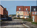
New houses, Basingstoke
Extending the northern limits of the town.
Image: © Robin Webster
Taken: 25 Oct 2015
0.03 miles
2
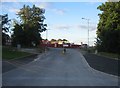
Merton Rise - the early days
Good to see the former wooded field boundary has been kept, more new build beyond.
Image: © Fernweh
Taken: 22 Jun 2015
0.11 miles
5
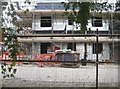
Here come the new builds
The road was laid out in 2009 and then building stopped.
Image: © Fernweh
Taken: 8 Oct 2013
0.15 miles
6
Evening sun on the A340
Looking across from the wasteland by the hospital.
Image: © Mr Ignavy
Taken: 24 Jan 2009
0.15 miles
7
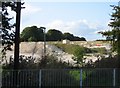
Preparing for houses
The next bit of farmland around Basingstoke is prepared for more housing.
Image: © Mr Ignavy
Taken: 2 Oct 2008
0.15 miles
8
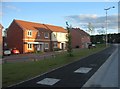
New builds in Merton Rise
Image: © Fernweh
Taken: 22 Jun 2015
0.16 miles
9
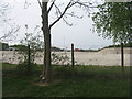
Chalk subsoil exposed
Work on the land in preparation for more new houses to the north of Basingstoke reveals how close to the surface the chalk layer is.
Image: © Mr Ignavy
Taken: 23 Apr 2009
0.16 miles
10
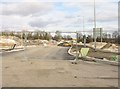
First the road, then the houses
Basingstoke extends northwards to the east of the Aldermaston Road.
Image: © Mr Ignavy
Taken: 14 Feb 2009
0.16 miles