IMAGES TAKEN NEAR TO
Hanmore Road, BASINGSTOKE, RG24 8PJ
Introduction
This page details the photographs taken nearby to Hanmore Road, RG24 8PJ by members of the Geograph project.
The Geograph project started in 2005 with the aim of publishing, organising and preserving representative images for every square kilometre of Great Britain, Ireland and the Isle of Man.

There are currently over 7.5m images from over14,400 individuals and you can help contribute to the project by visiting https://www.geograph.org.uk
Image Map
Images are licensed for reuse under creativecommons.org/licenses/by-sa/2.0
Notes
- Clicking on the map will re-center to the selected point.
- The higher the marker number, the further away the image location is from the centre of the postcode.
Image Listing (61 Images Found)
Images are licensed for reuse under creativecommons.org/licenses/by-sa/2.0
Image
Details
Distance
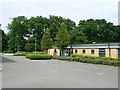
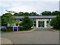
2
Dayer's Fine Foods
In the same block as Fitness First.
Image: © Mr Ignavy
Taken: 31 May 2008
0.04 miles
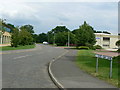
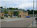
6
Spindlewood - Chineham Park
All the side roads within Chineham Business Park are named after various trees.
Image: © Mr Ignavy
Taken: 31 May 2008
0.09 miles