
IMAGES TAKEN NEAR TO
Withybed Way, THATCHAM, RG18 4DG
Introduction
This page details the photographs taken nearby to Withybed Way, RG18 4DG by members of the Geograph project.
The Geograph project started in 2005 with the aim of publishing, organising and preserving representative images for every square kilometre of Great Britain, Ireland and the Isle of Man.

There are currently over 7.5m images from over14,400 individuals and you can help contribute to the project by visiting https://www.geograph.org.uk
Image Map
Images are licensed for reuse under creativecommons.org/licenses/by-sa/2.0
Notes
- Clicking on the map will re-center to the selected point.
- The higher the marker number, the further away the image location is from the centre of the postcode.
Image Listing (14 Images Found)
Images are licensed for reuse under creativecommons.org/licenses/by-sa/2.0
Image
Details
Distance
1
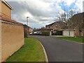
Withybed Way
Looking along Withybed Way towards Cowslip Crescent.
Image: © Oscar
Taken: 22 Feb 2023
0.02 miles
2
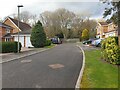
Withybed Way
The end of the cul-de-sac Withybed Way, looking at woodland. Lots of newly developed houses.
Image: © Oscar
Taken: 22 Feb 2023
0.02 miles
3
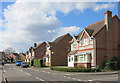
Foxglove Way, Thatcham
In the flowery street name part of town. Harebells, violets and cowslips are nearby, amongst others.
Image: © Des Blenkinsopp
Taken: 5 Apr 2016
0.11 miles
4
Cowslip Crescent, Thatcham
In case no one knows they actually live in cow poo crescent. As you slip in it.
Image: © David Howard
Taken: 30 Jul 2017
0.13 miles
6
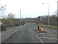
Floral Way junction with Foxgrove Way
Foxglove Way leads into the relatively new Dunstan Park estate. Floral way girdles the same development from East anticlockwise to West.
Image: © Stuart Logan
Taken: 28 Feb 2012
0.15 miles
7
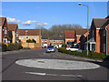
Mallow Gardens, Thatcham
Part of the modern housing estate on the northern side of the town. This is at the junction with Foxglove Way. The estate has lots of mini-roundabouts and road-names with a floral theme.
Image: © Andrew Smith
Taken: 8 Apr 2010
0.18 miles
8
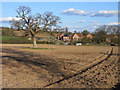
Farmland, Thatcham
A ploughed field just outside the town's urban fringe and houses beside Harts Hill Farm.
Image: © Andrew Smith
Taken: 8 Apr 2010
0.18 miles
9
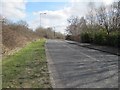
Towards Harts Hill farm
View along the ring road round Thatcham towards the Harts Hill farm roundabout.
Image: © Bill Nicholls
Taken: 26 Feb 2012
0.19 miles
10
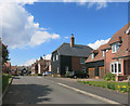
Farmhouse Mews
New housing around original farm buildings which have been converted to business use.
Image: © Des Blenkinsopp
Taken: 5 Apr 2016
0.22 miles