
IMAGES TAKEN NEAR TO
Wagbullock Rise, BRACKNELL, RG12 7QD
Introduction
This page details the photographs taken nearby to Wagbullock Rise, RG12 7QD by members of the Geograph project.
The Geograph project started in 2005 with the aim of publishing, organising and preserving representative images for every square kilometre of Great Britain, Ireland and the Isle of Man.

There are currently over 7.5m images from over14,400 individuals and you can help contribute to the project by visiting https://www.geograph.org.uk
Image Map
Images are licensed for reuse under creativecommons.org/licenses/by-sa/2.0
Notes
- Clicking on the map will re-center to the selected point.
- The higher the marker number, the further away the image location is from the centre of the postcode.
Image Listing (19 Images Found)
Images are licensed for reuse under creativecommons.org/licenses/by-sa/2.0
Image
Details
Distance
2
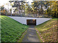
Pedestrian subway, Bracknell
Under Opladen Way. There are a great many such subways in Bracknell, this one is plated 51.
Image: © Robin Webster
Taken: 17 Nov 2017
0.09 miles
3
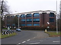
Cadence offices, Bracknell
Situated on the sports centre roundabout, near the Harmans Water district.
Image: © Andrew Smith
Taken: 19 Feb 2006
0.12 miles
4
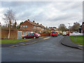
Black Meadows
Black Meadows, A cul-de-sac off Manston Drive in the 1980s estates to the east of South Hill Park.
Image: © Alan Hunt
Taken: 27 Jan 2014
0.14 miles
5
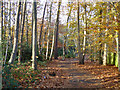
Path towards Opladen Way, Bracknell
This runs along a belt of woodland insulating residential areas from the busy A322.
Image: © Robin Webster
Taken: 17 Nov 2017
0.14 miles
6
Roundabout on Bagshot Road, Harmans Water
Image: © David Howard
Taken: 19 Jul 2015
0.16 miles
7
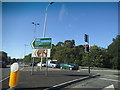
Bagshot Road at the junction of Harmans Water Road
Image: © David Howard
Taken: 19 Jul 2015
0.17 miles
8
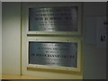
Bracknell Sports Centre (2 of 2)
In the corridor to the swimming pools and Forest Suite are the plaques marking the key dates in the centre's development.
Image: © Sam
Taken: 23 Dec 2017
0.17 miles
9
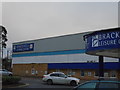
Bracknell Sports Centre (1 of 2)
The centre opened in the 1960s, and the adjoining swimming pool following in 1973, and the running track was the location of Kevin Keegan's televised bicycle 'blunder' here in 1976.
The centre had 40,000 visitors reported for six months during 1979. Bracknell Forest Council is currently the 'umbrella' in running the principal leisure venues in the district, including The Look Out and Coral Reef.
Image: © Sam
Taken: 23 Dec 2017
0.17 miles
10
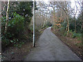
Path, South Hill estate
The footpath in a band of woodland that runs from South Hill Road to Ringmead through the 1980s estates to the east of South Hill Park.
Image: © Alan Hunt
Taken: 27 Jan 2014
0.18 miles