IMAGES TAKEN NEAR TO
Martin Mere, SOUTHPORT, PR9 8AQ
Introduction
This page details the photographs taken nearby to Martin Mere, PR9 8AQ by members of the Geograph project.
The Geograph project started in 2005 with the aim of publishing, organising and preserving representative images for every square kilometre of Great Britain, Ireland and the Isle of Man.

There are currently over 7.5m images from over14,400 individuals and you can help contribute to the project by visiting https://www.geograph.org.uk
Image Map (Loading...)


Getting Data...Please wait
Leaflet Map data © OpenStreetMap
Images are licensed for reuse under creativecommons.org/licenses/by-sa/2.0
Notes
- Clicking on the map will re-center to the selected point.
- The higher the marker number, the further away the image location is from the centre of the postcode.
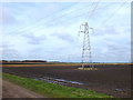
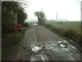
Image Listing (7 Images Found)
Images are licensed for reuse under creativecommons.org/licenses/by-sa/2.0
Image
Details
Distance
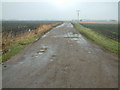
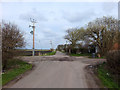
1
Track towards Hooton's Cottages
View looking south
Image: © Peter Hodge
Taken: 22 Jan 2006
0.01 miles
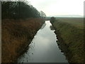
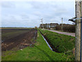
5
The end of Moss Lane, Churchtown Moss
Looking towards the track known as Long Meanygate.
Image: © Mike Pennington
Taken: 19 Oct 2015
0.22 miles