IMAGES TAKEN NEAR TO
Grosvenor Close, SOUTHPORT, PR8 2TJ
Introduction
This page details the photographs taken nearby to Grosvenor Close, PR8 2TJ by members of the Geograph project.
The Geograph project started in 2005 with the aim of publishing, organising and preserving representative images for every square kilometre of Great Britain, Ireland and the Isle of Man.

There are currently over 7.5m images from over14,400 individuals and you can help contribute to the project by visiting https://www.geograph.org.uk
Image Map
Images are licensed for reuse under creativecommons.org/licenses/by-sa/2.0
Notes
- Clicking on the map will re-center to the selected point.
- The higher the marker number, the further away the image location is from the centre of the postcode.
Image Listing (9 Images Found)
Images are licensed for reuse under creativecommons.org/licenses/by-sa/2.0
Image
Details
Distance
1
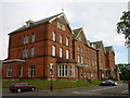
Smedley Hydro
A former Victorian Hydropathic Spa and Hotel which is now home to the UK national registration offices. it was taken over by the Government in 1939.
Image: © David Stoker
Taken: 11 Aug 2010
0.11 miles
2
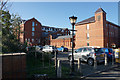
General Register Office
The national base for this subsidiary of the Home Office, dealing with births, deaths and marriages within England. The buildings include the Smedley Hydro, a former hotel.
Image: © Bill Boaden
Taken: 13 Sep 2019
0.13 miles
3
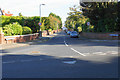
Gainsborough Road
A residential street leading from Waterloo Road to Southport & Birkdale Sports Club.
Image: © Bill Boaden
Taken: 13 Sep 2019
0.17 miles
4
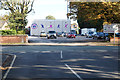
Entrance to Southport & Birkdale Sports Club
Lancashire Cricket Club sometimes play here but not very often.
Image: © Bill Boaden
Taken: 13 Sep 2019
0.17 miles
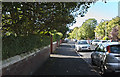
6

Railway towards Birkdale station
Seen from the level crossing where Grosvenor Road becomes Crescent Road.
Image: © Kevin Waterhouse
Taken: 7 Oct 2025
0.20 miles
7
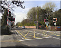
Crescent Road Level Crossing
Level crossing on the Southport to Liverpool railway line, between Birkdale and Ainsdale stations. The road on this side of the crossing is Crescent Road; its name changes to Grosvenor Road on the far side of the crossing.
Image: © David Dixon
Taken: 9 Apr 2011
0.21 miles
8
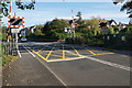
Level crossing on Grosvenor Road
Crossing the railway line between Southport and Liverpool.
Image: © Bill Boaden
Taken: 13 Sep 2019
0.21 miles